

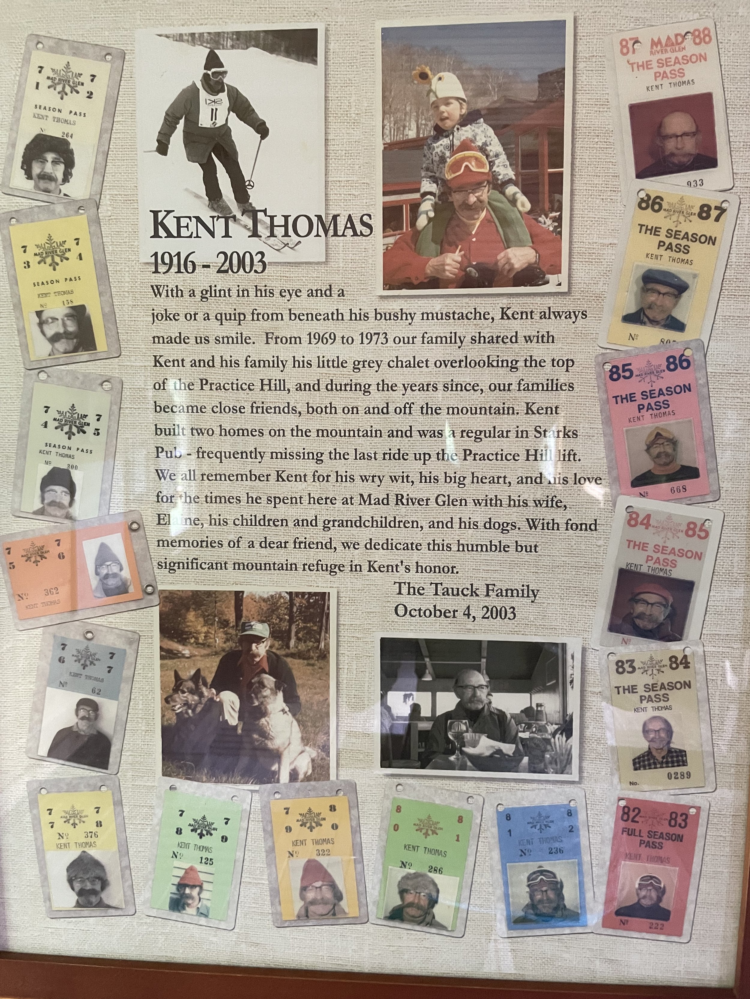
To learn more about our past programs please click here.
Stark Mountain StorySki
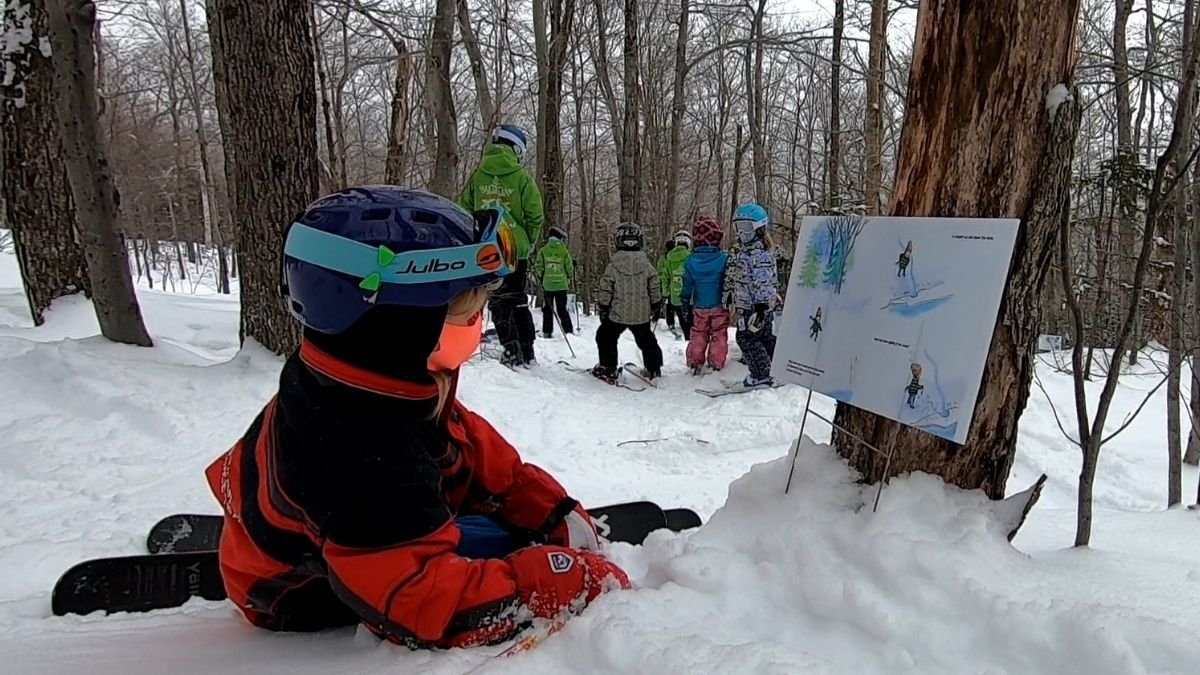
The Stark Mountain Foundation StorySki was inspired by Anne Ferguson, of the Kellogg-Hubbard Library in Montpelier. Anne created “StoryWalk,” where the pages of a children’s book are set up along a walking route. During the annual StorySki, the pages of a children’s storybook are placed along a ski trail at Mad River Glen. Children and families ski from page to page and read the story as they move down the ski trail. This event aims to inspire skiers of all ages to enjoy Stark Mountain, read, have fun, and be active together.
Please watch the video below to learn more about this event.

Stark Mountain Hiking

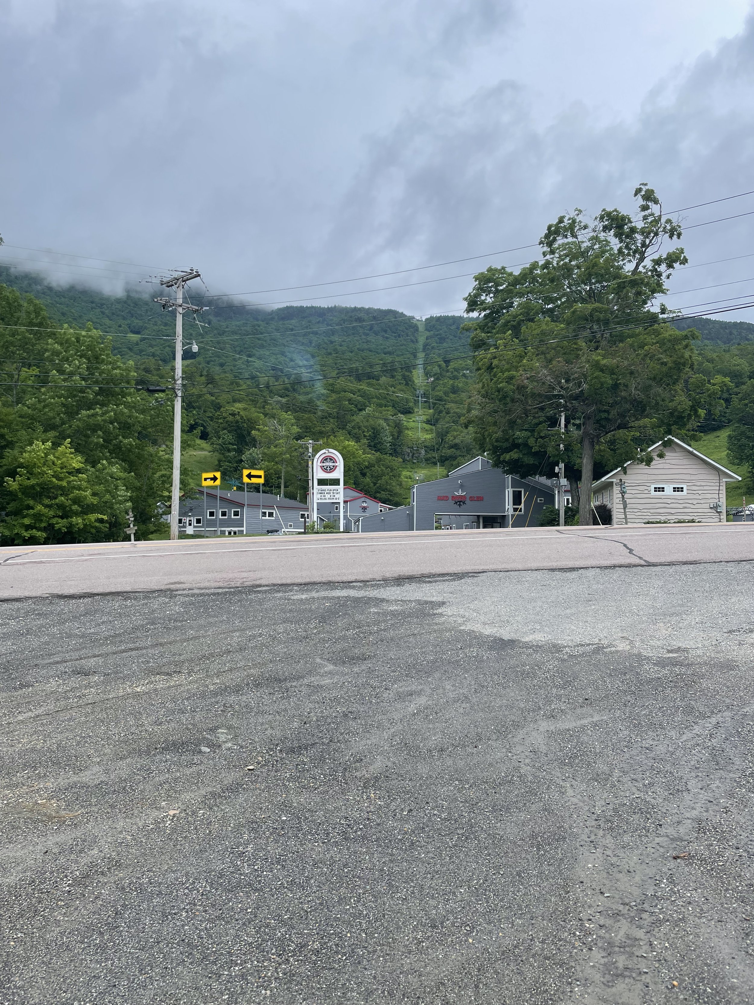
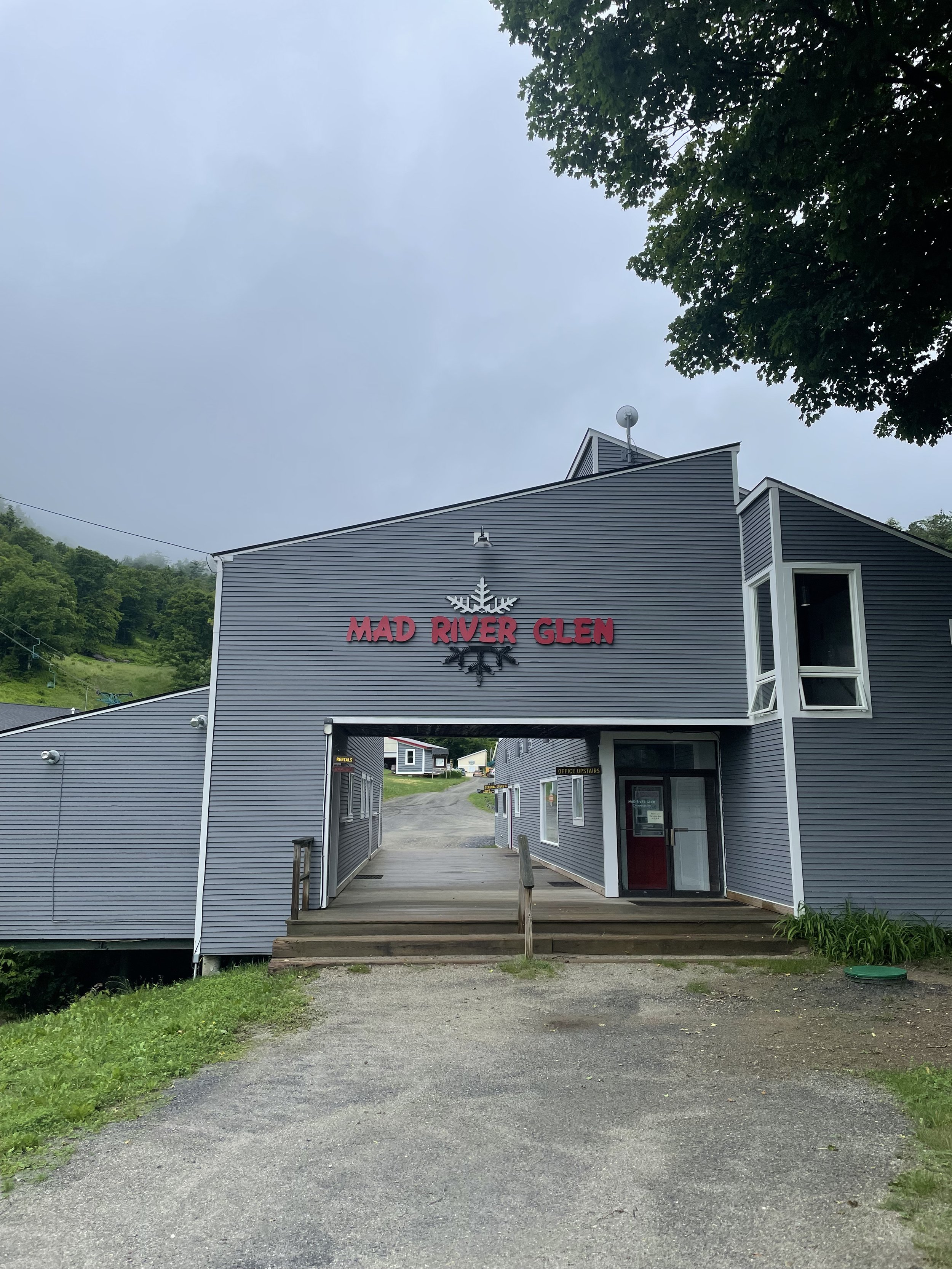
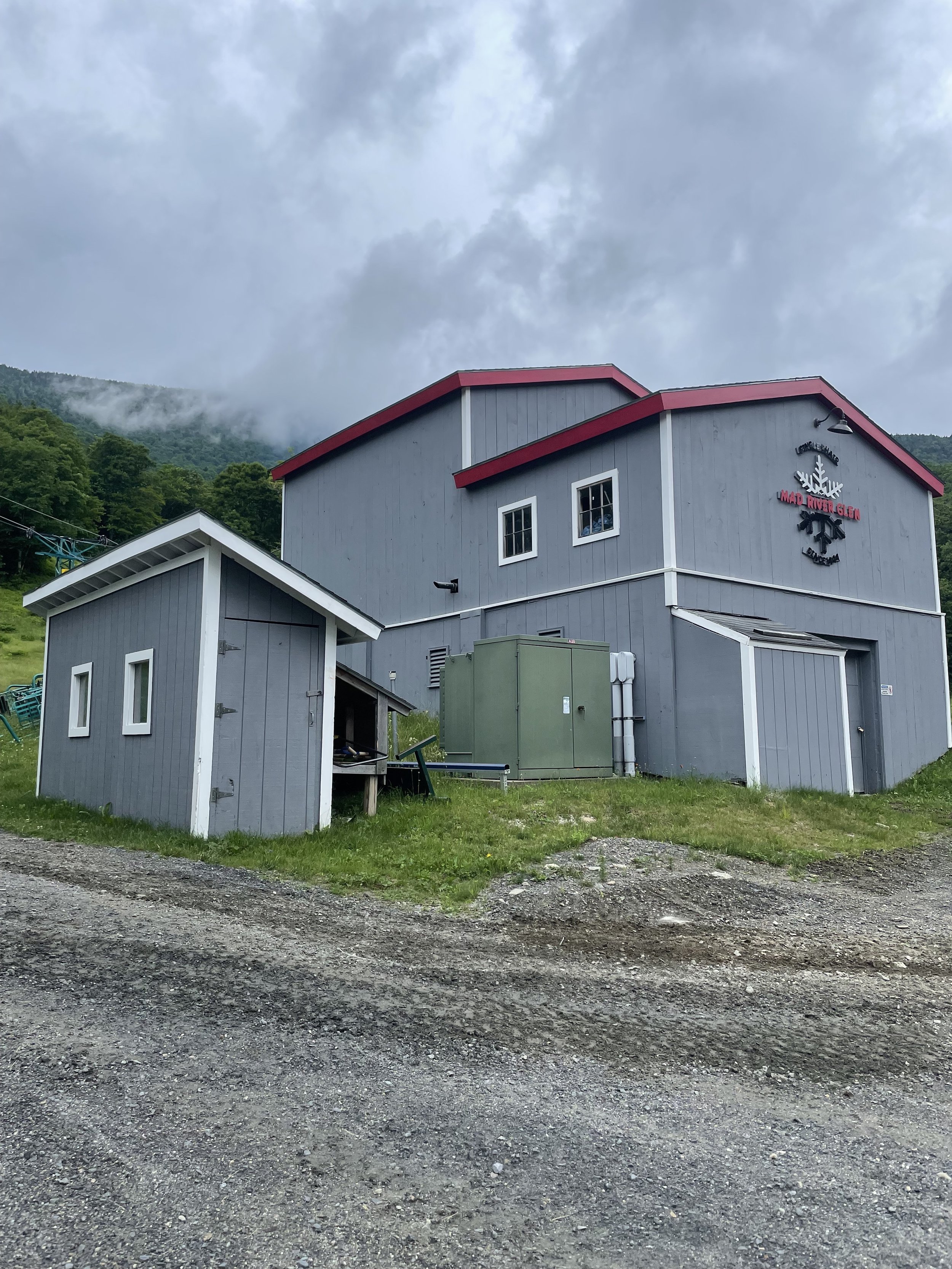
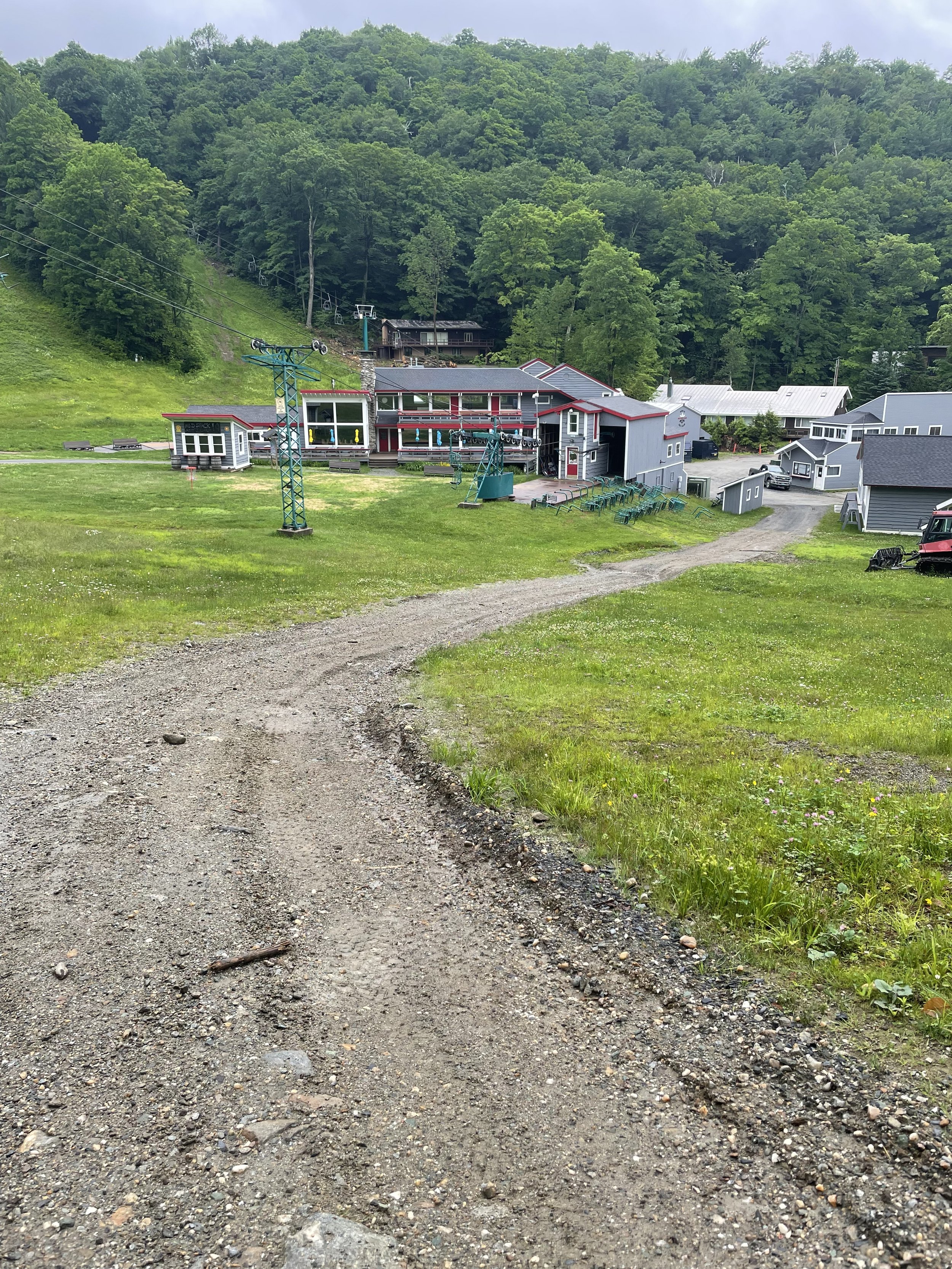
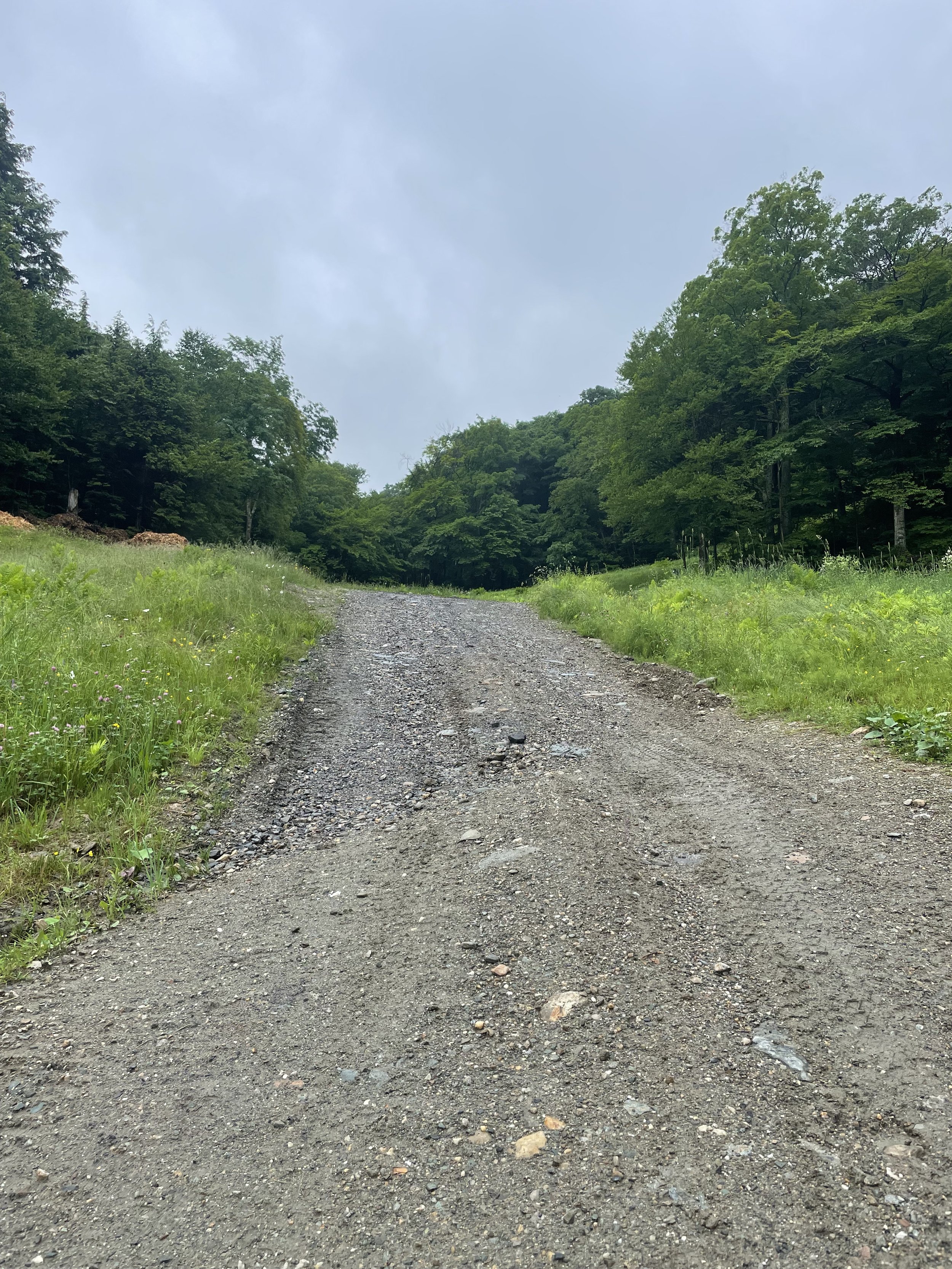
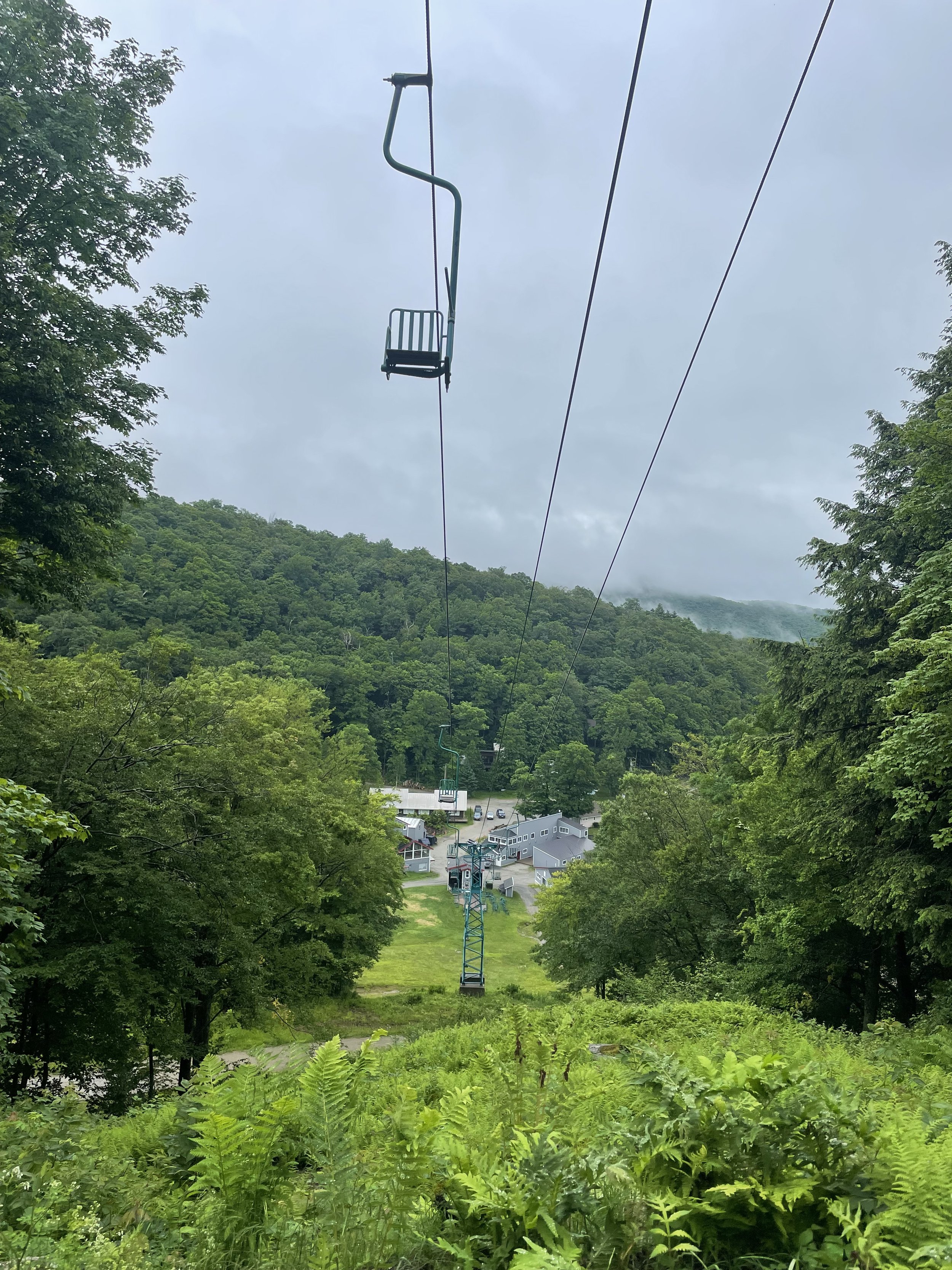
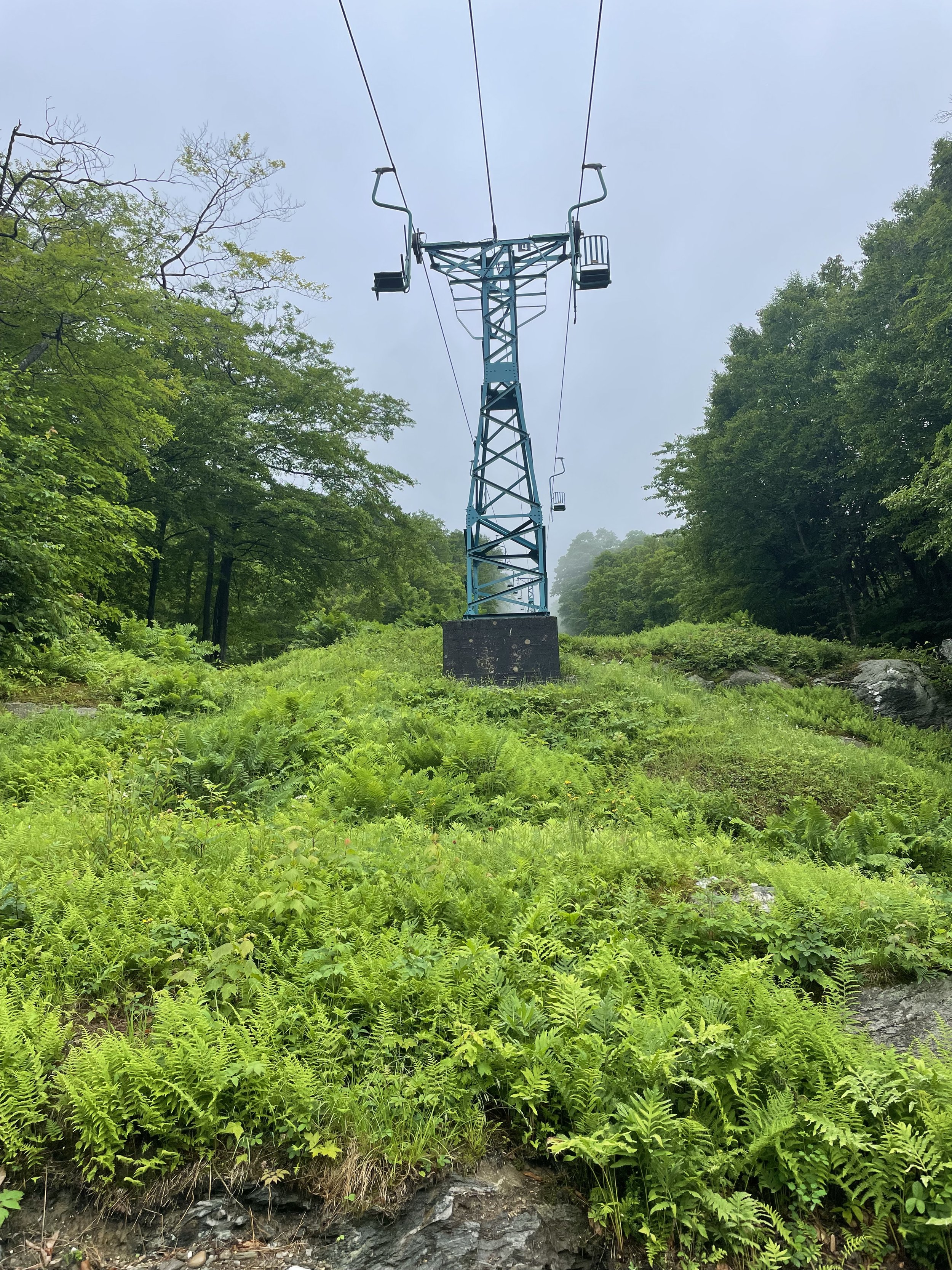
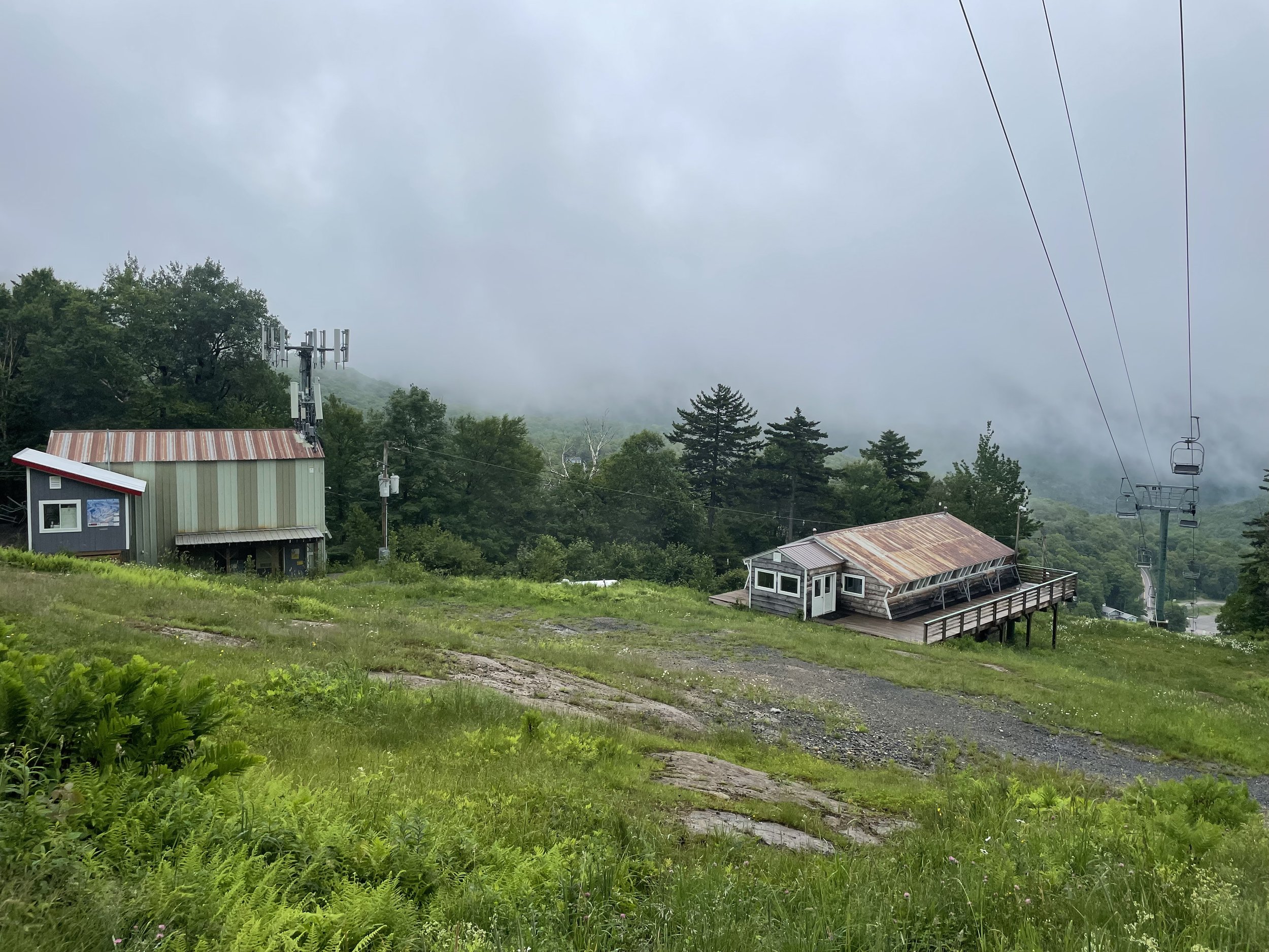
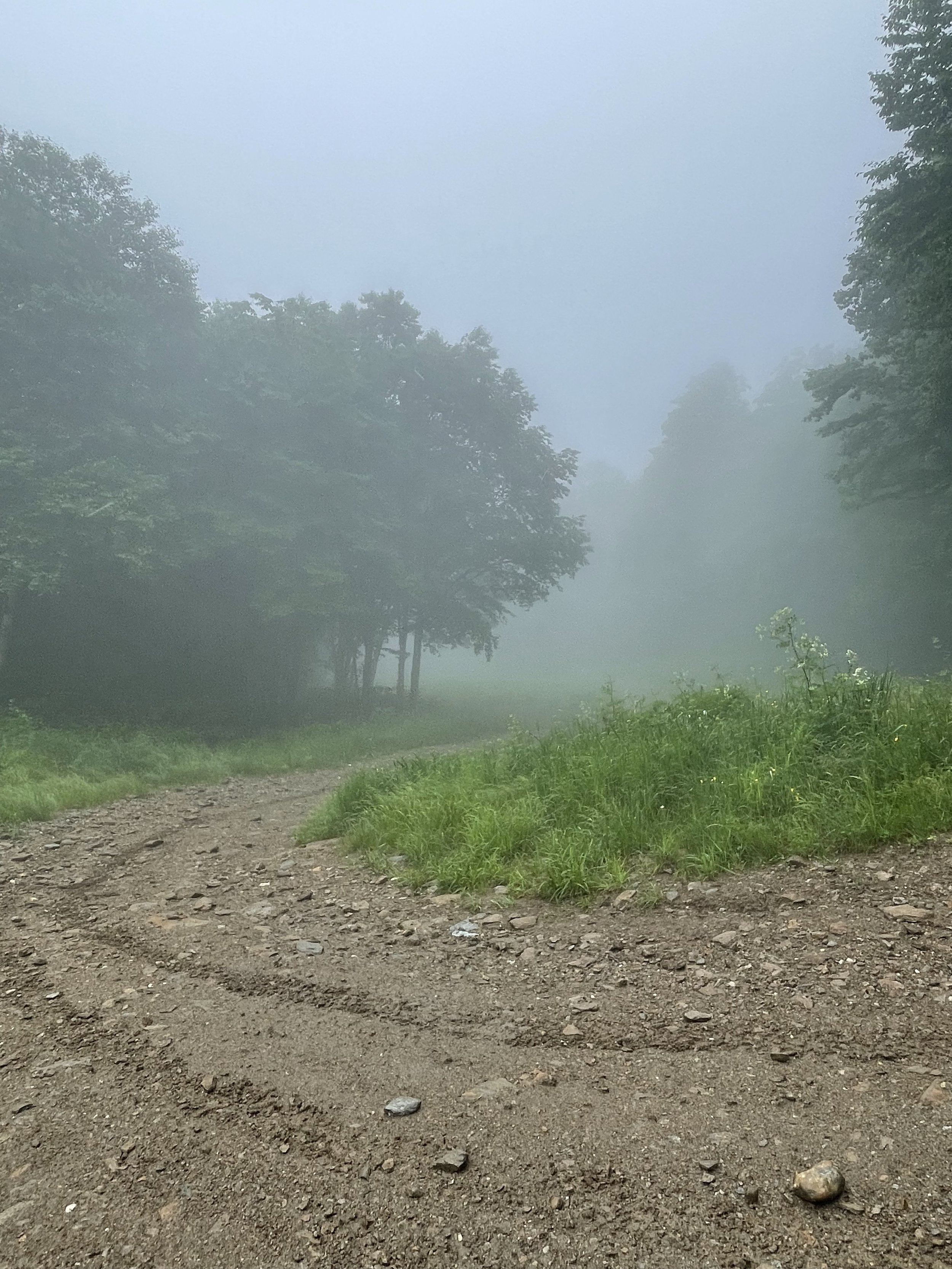
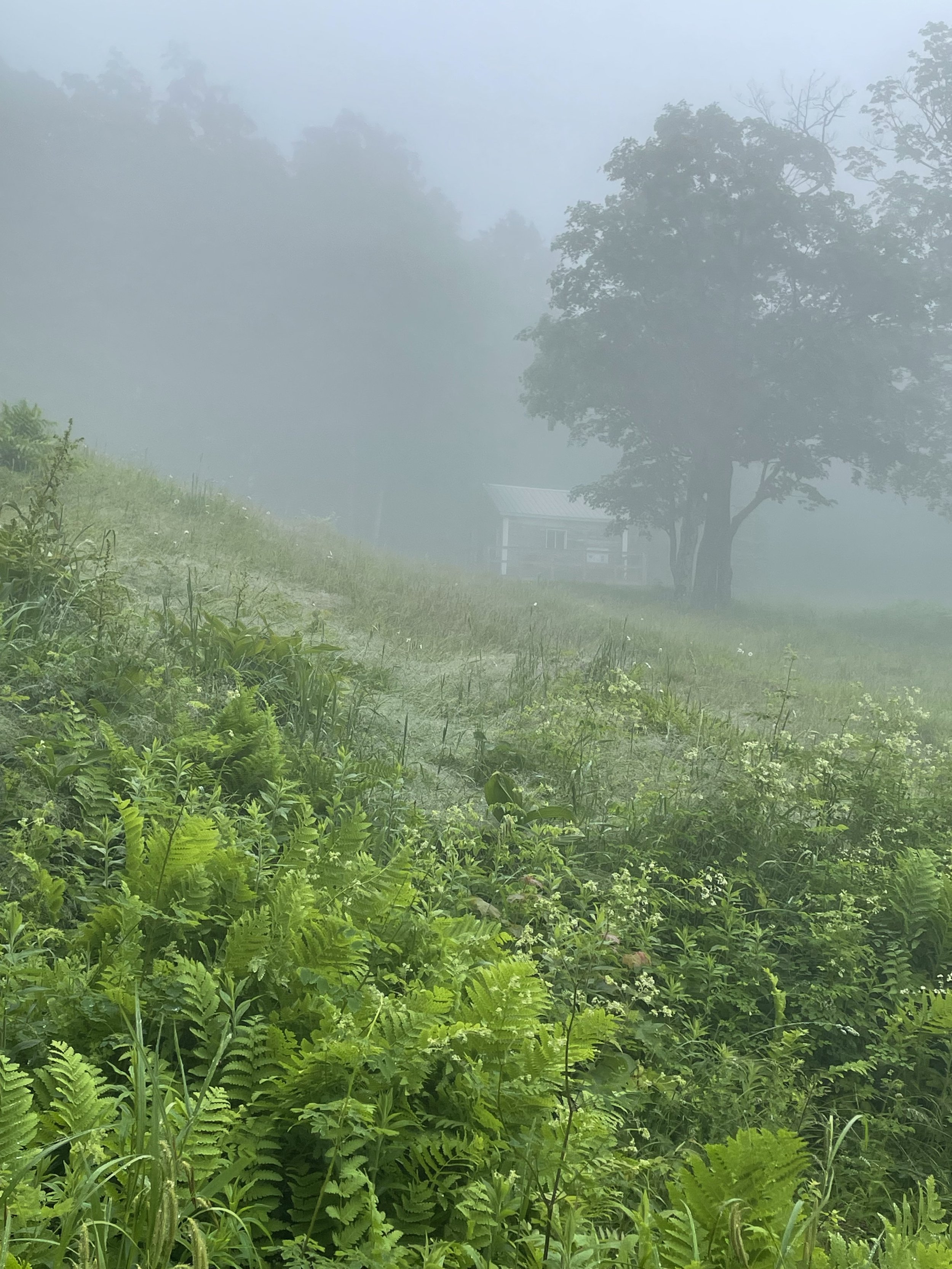
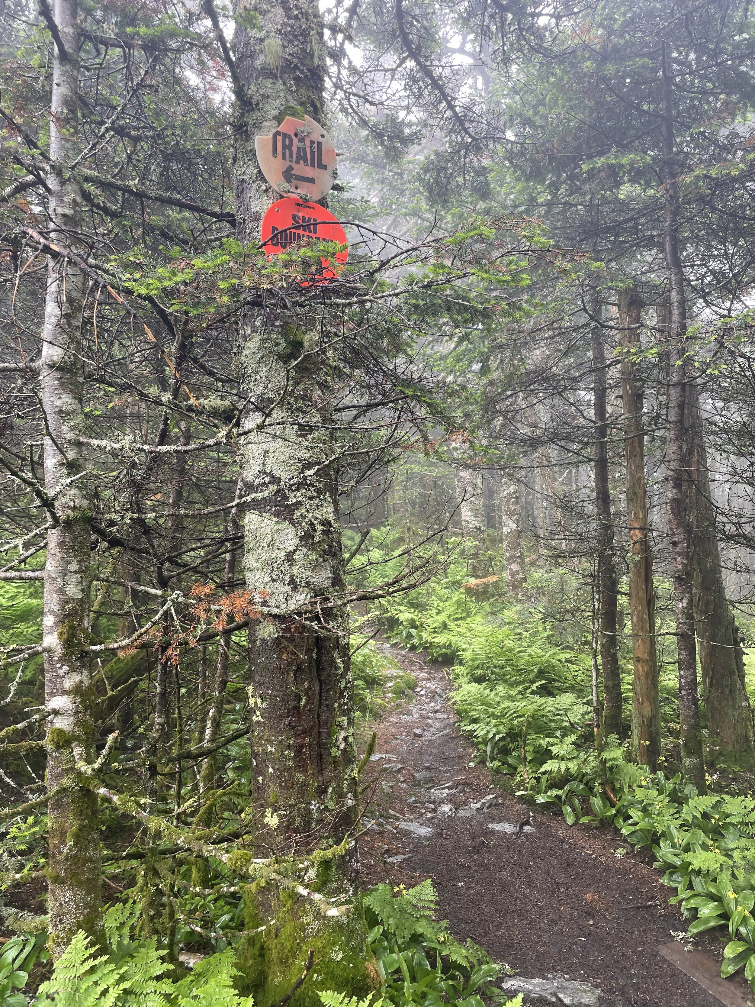
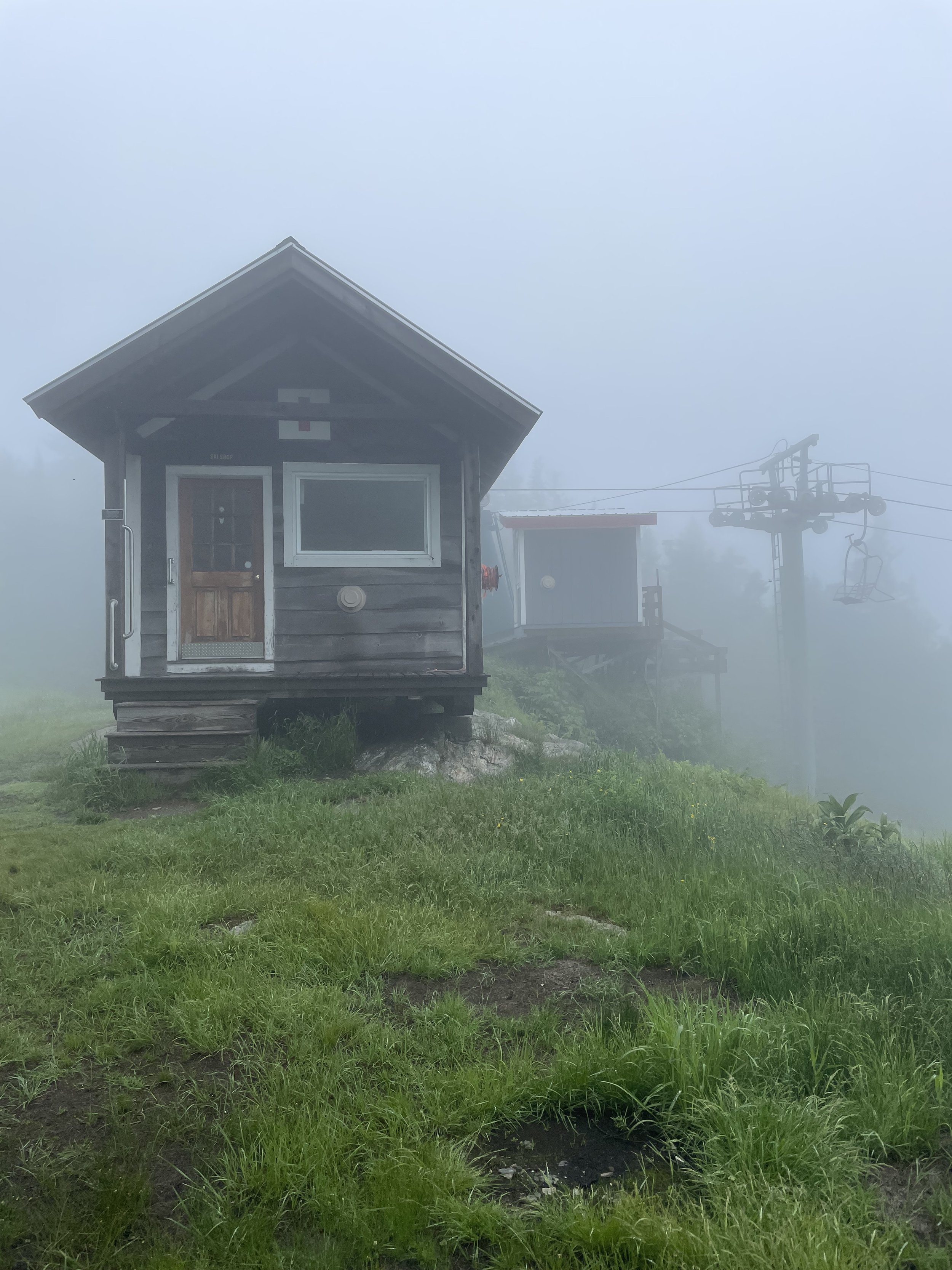
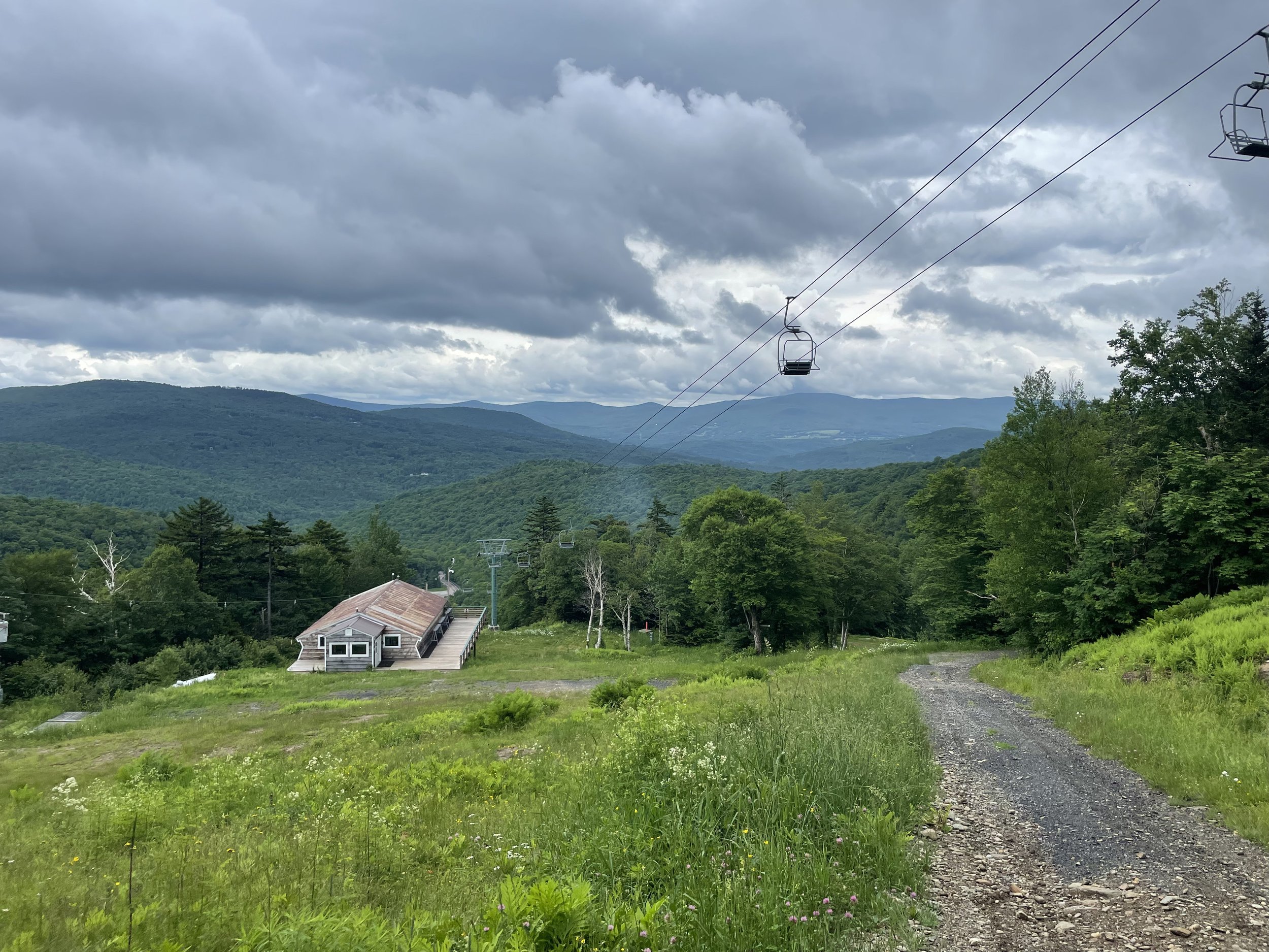
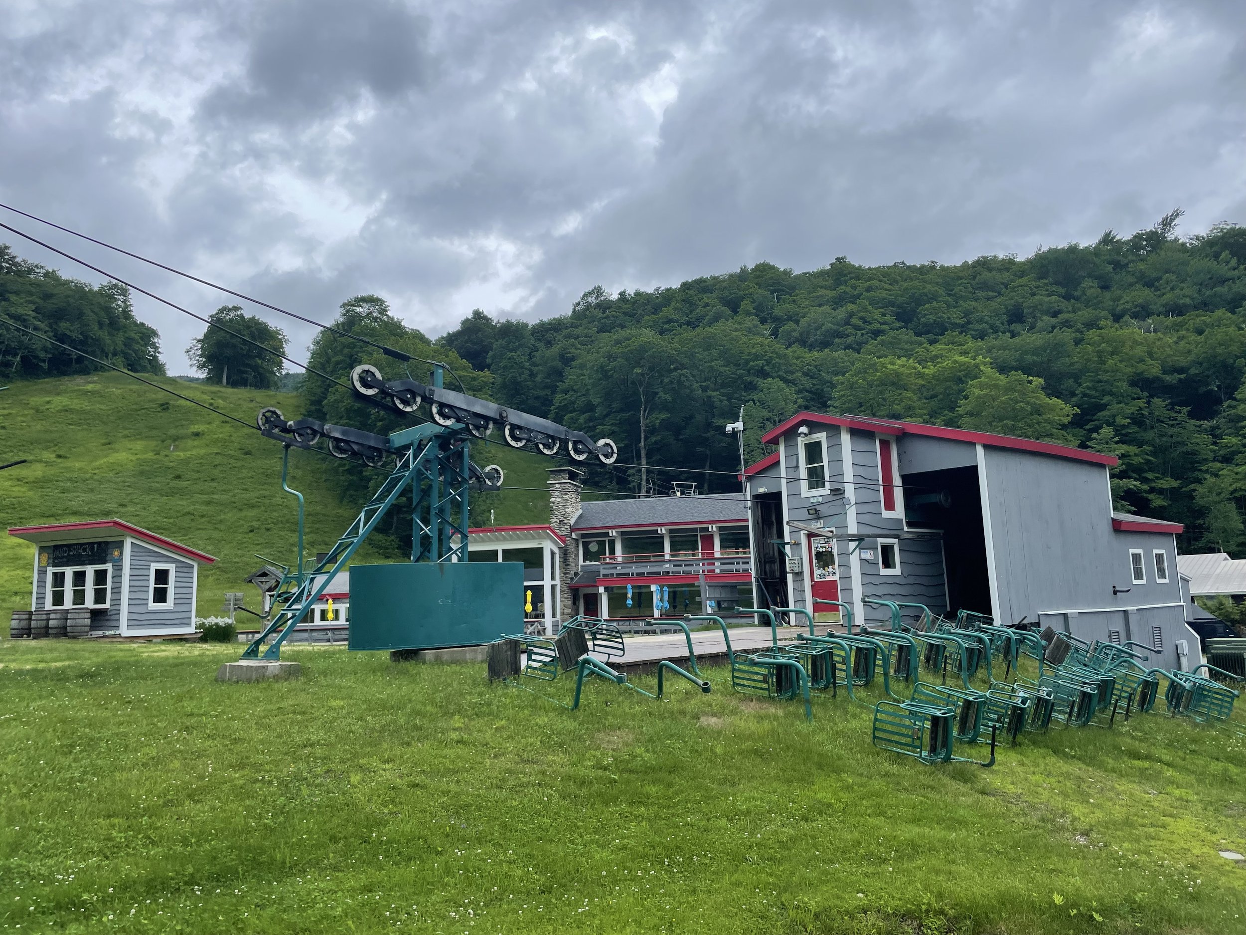
Stark Mountain hikers may park free of charge in the Mad River Glen ski area parking lot. Walk across the road through the Mad River Glen base area. Pass through the Mad River Glen entrance and take a left before the Single Chair lift building, or go straight past the Base Box building on your right. The hiking kiosk is next to the flag pole across from the Base Box building. Turn to your left when facing the sign, and then head up the work road to begin the hike.
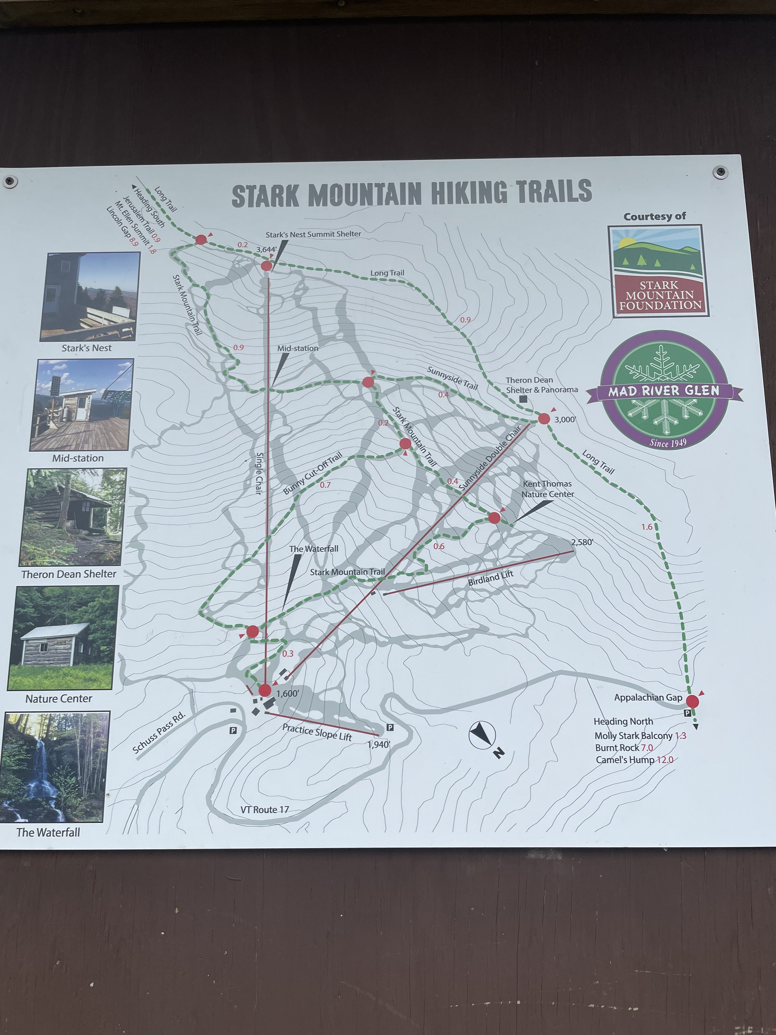
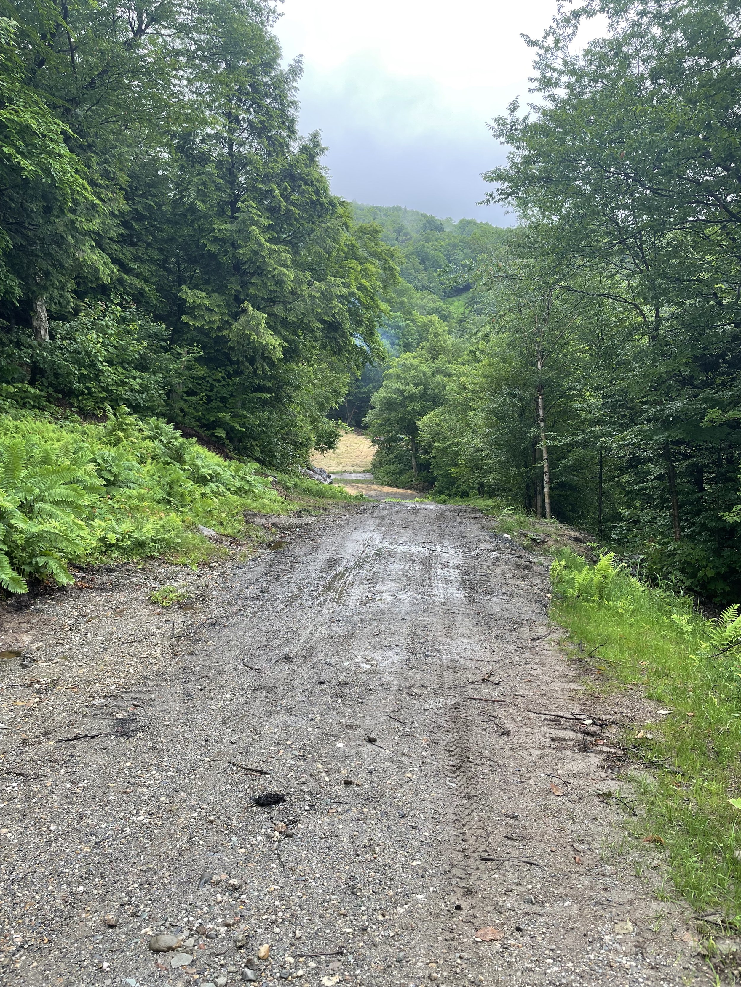
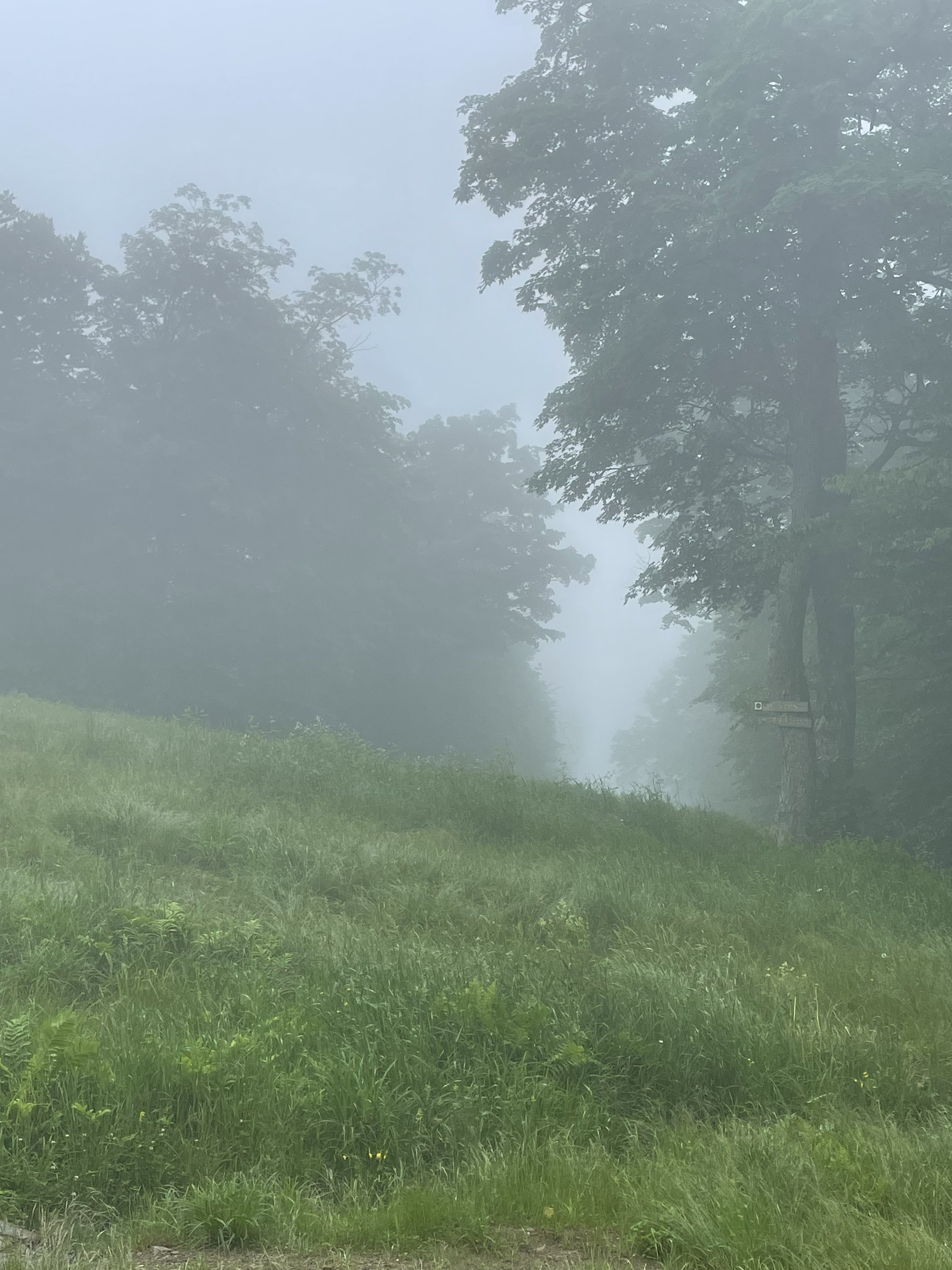
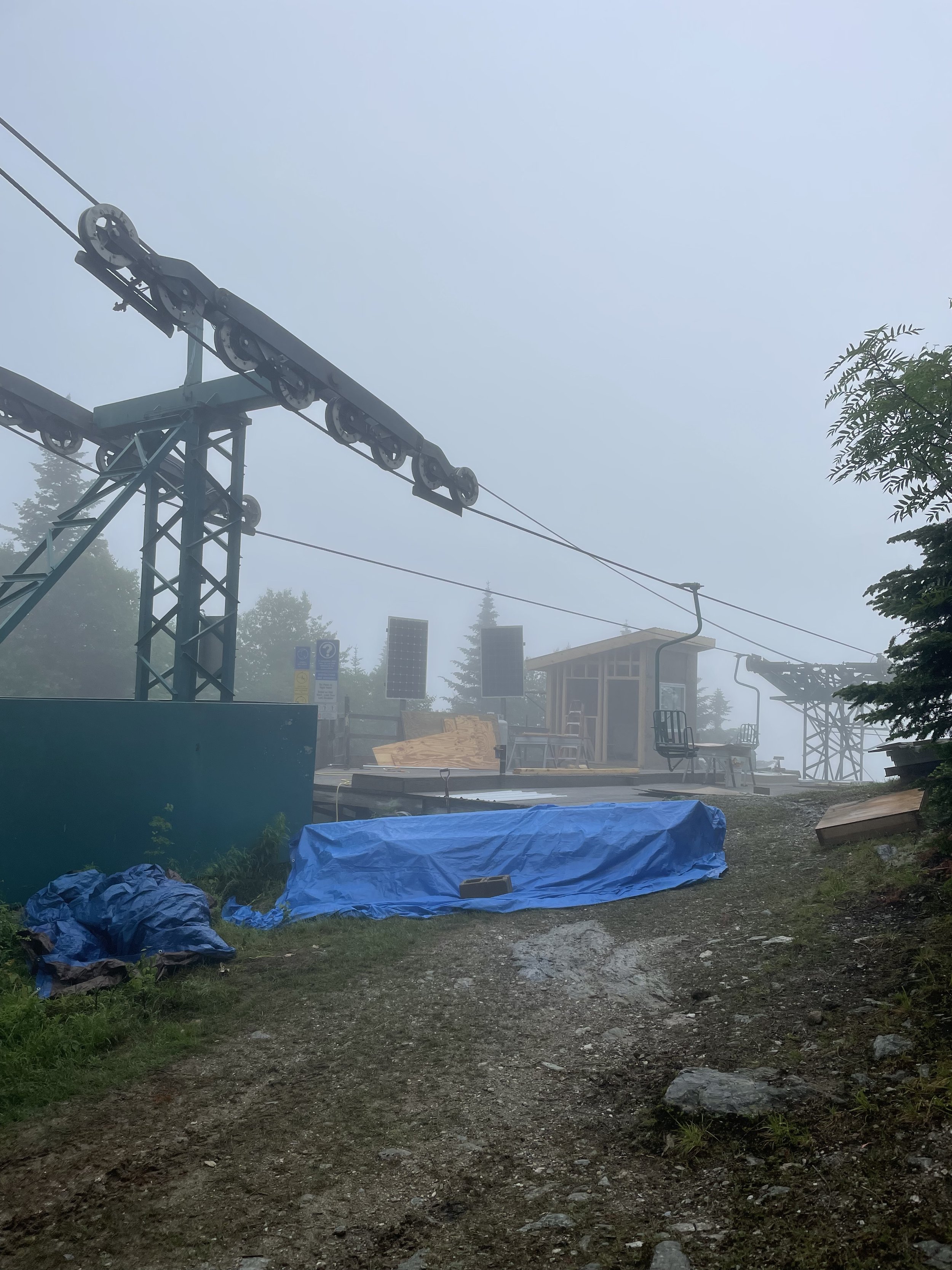
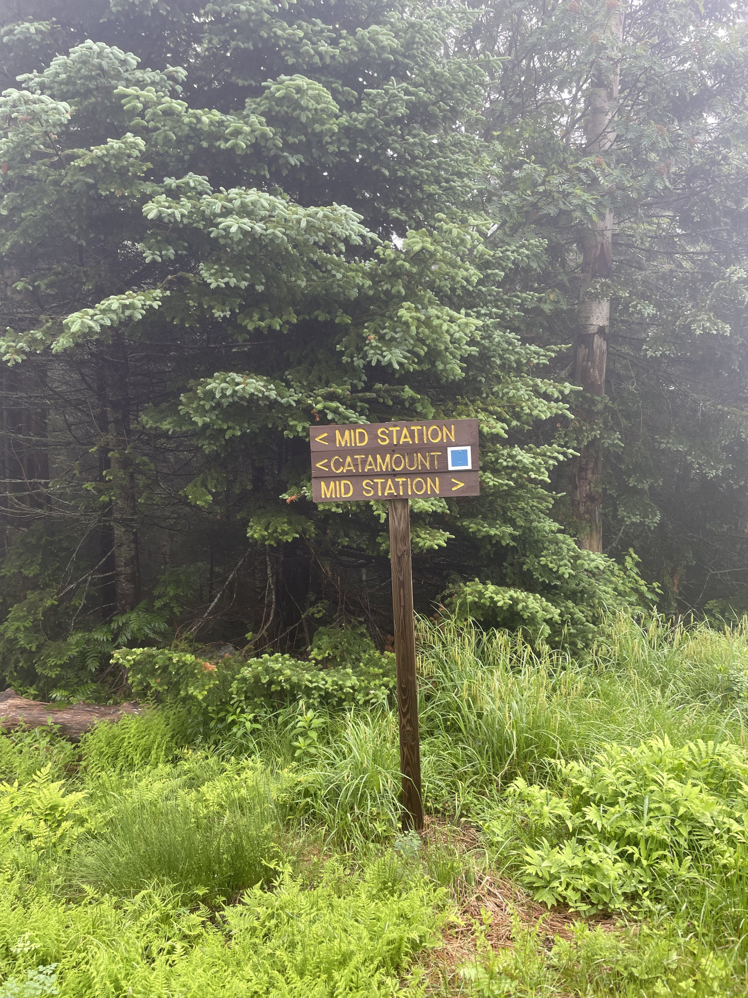
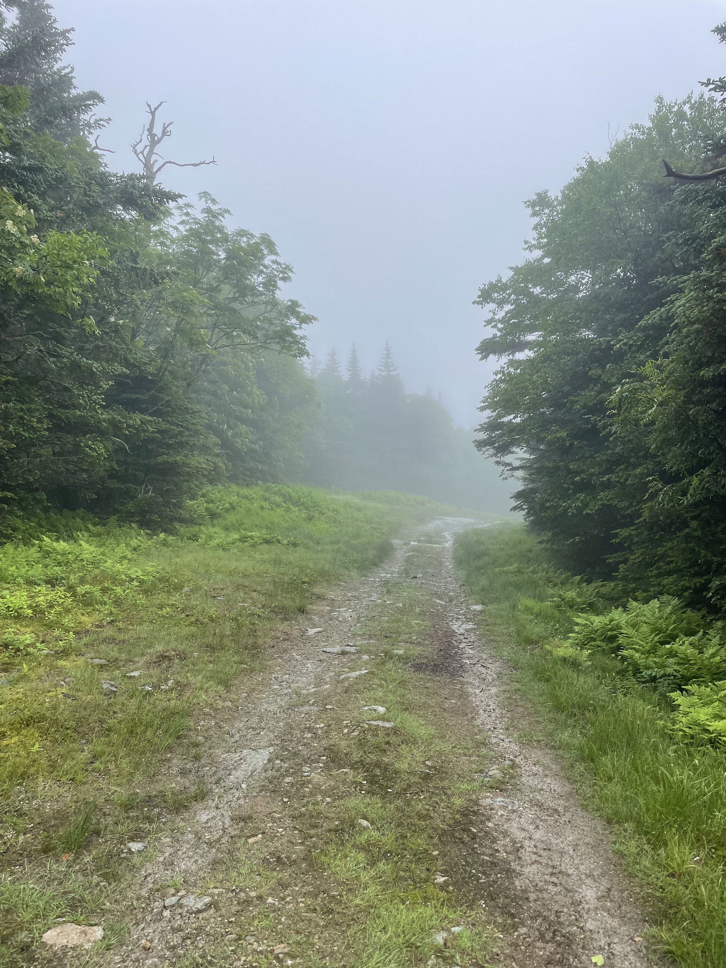
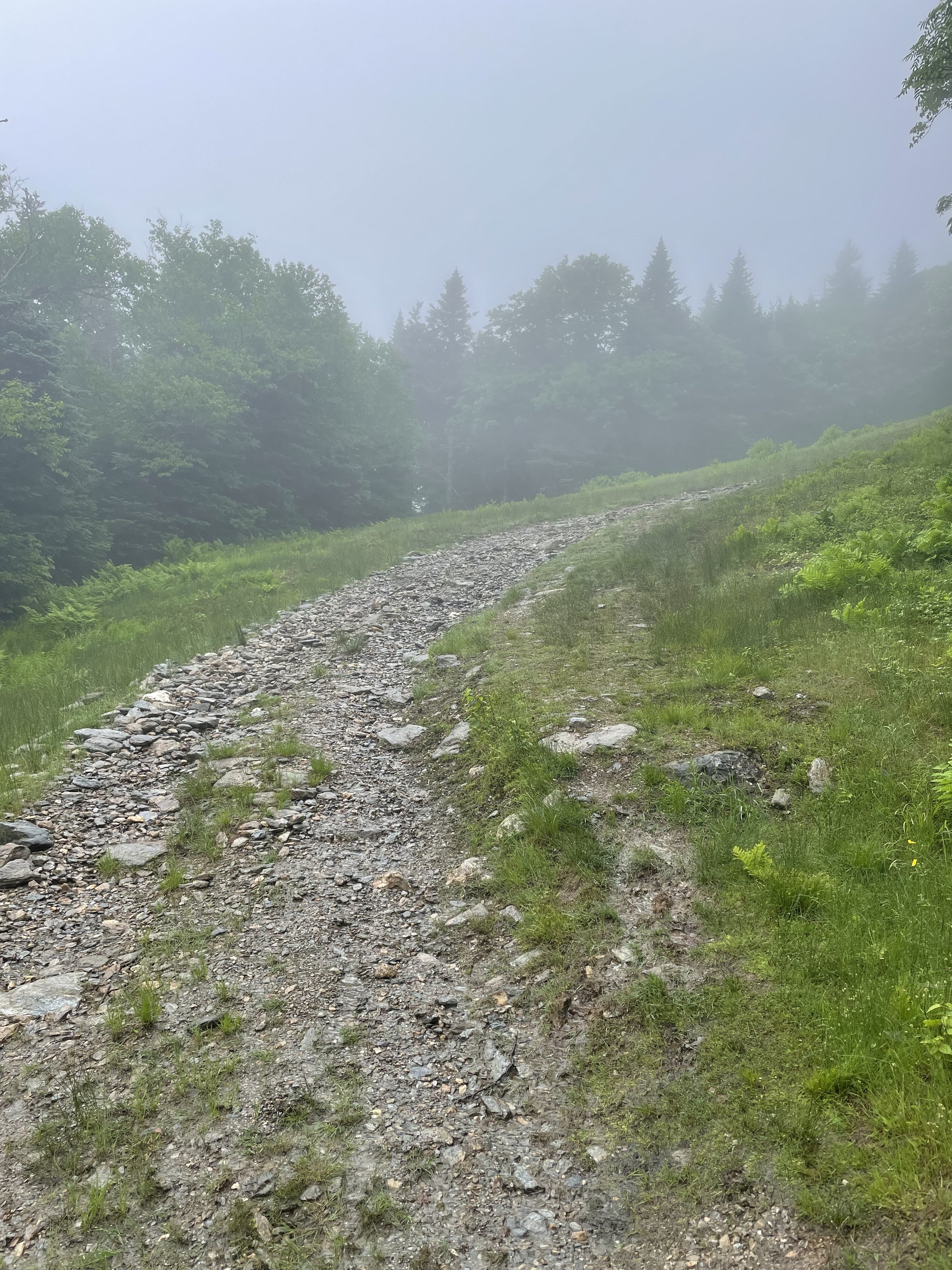
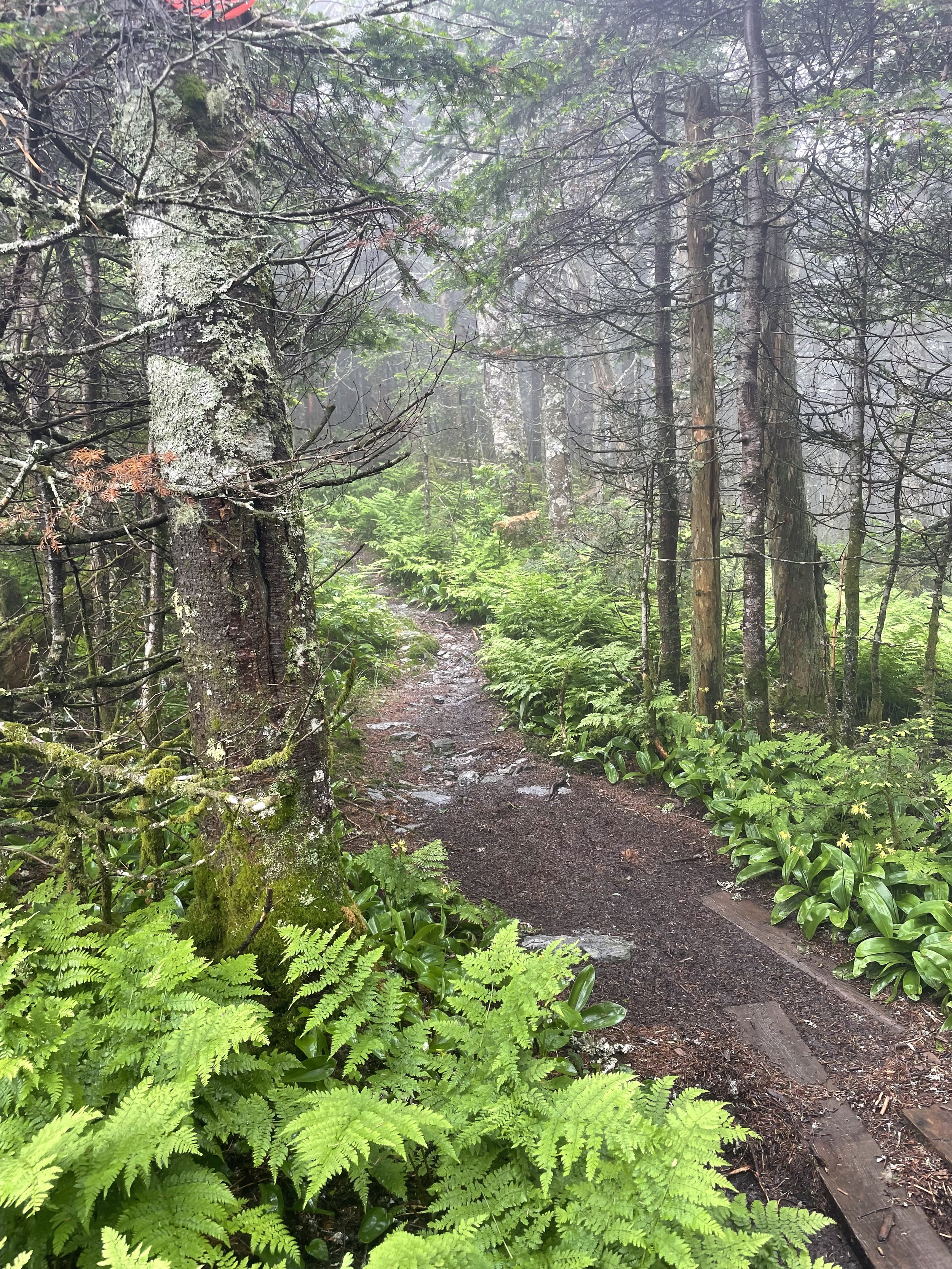
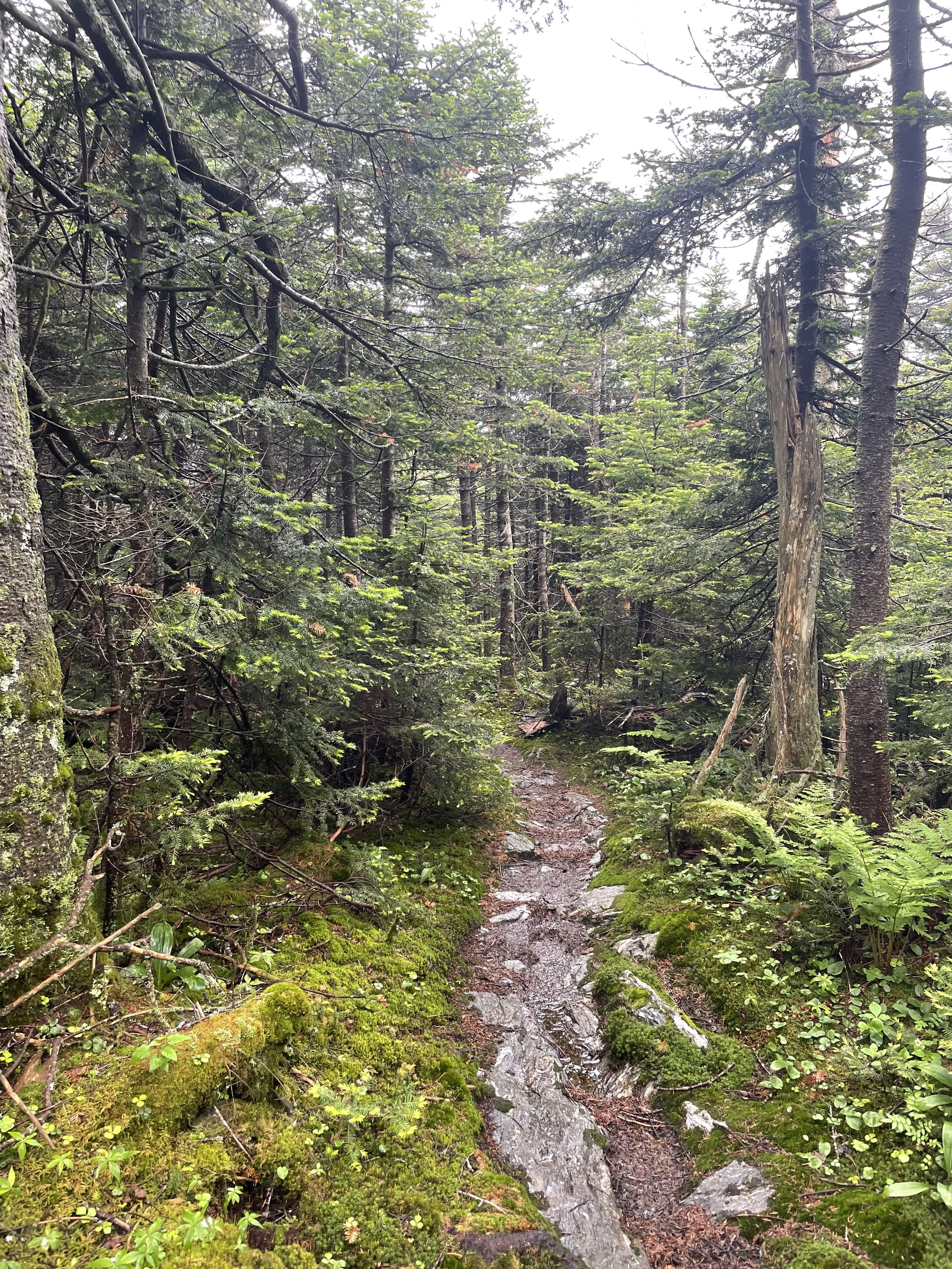
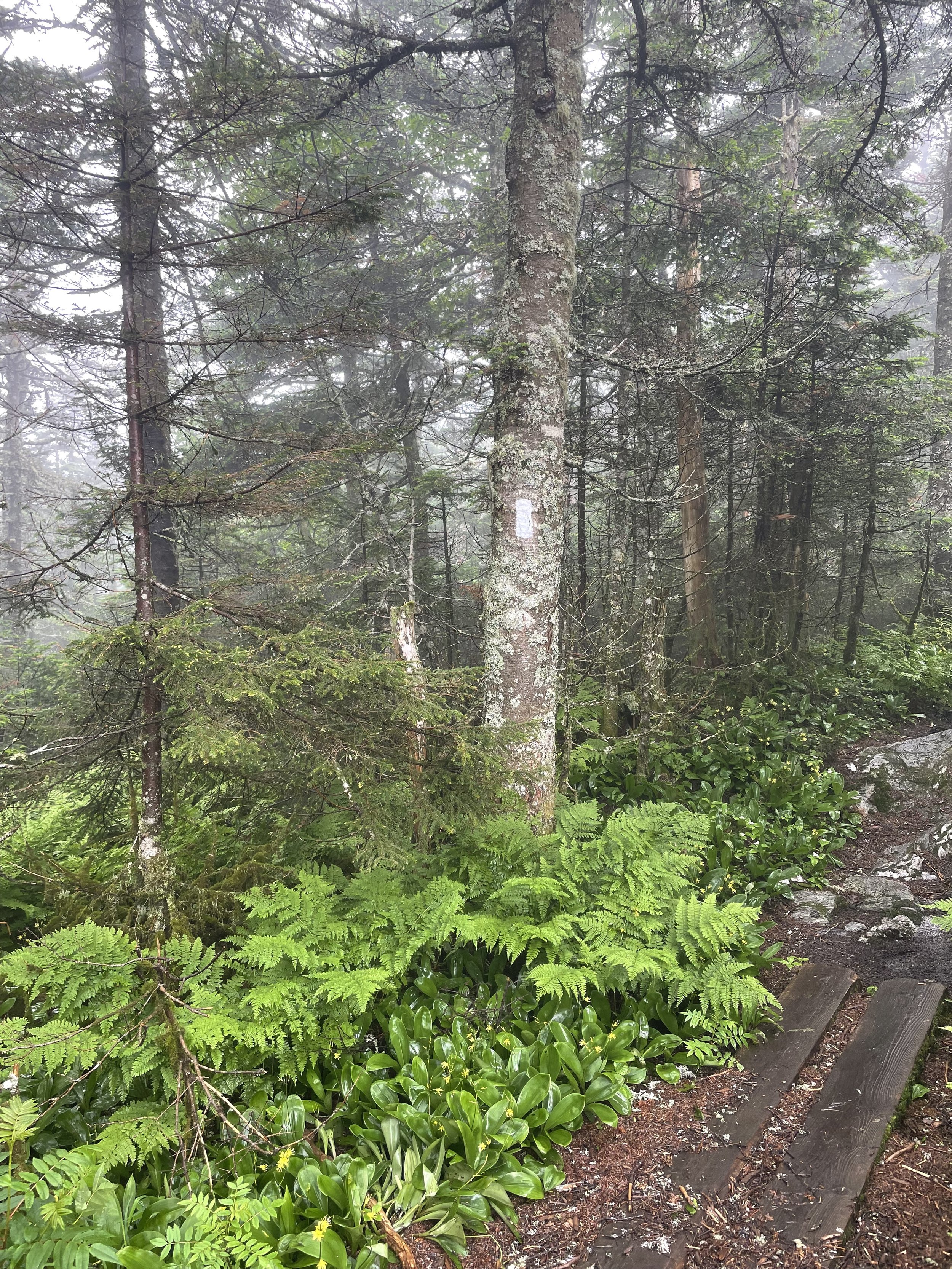
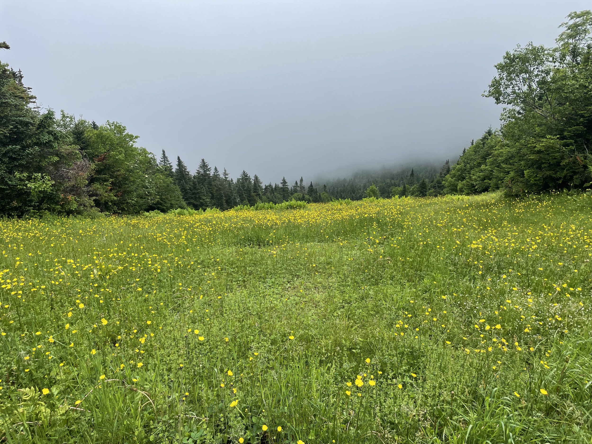
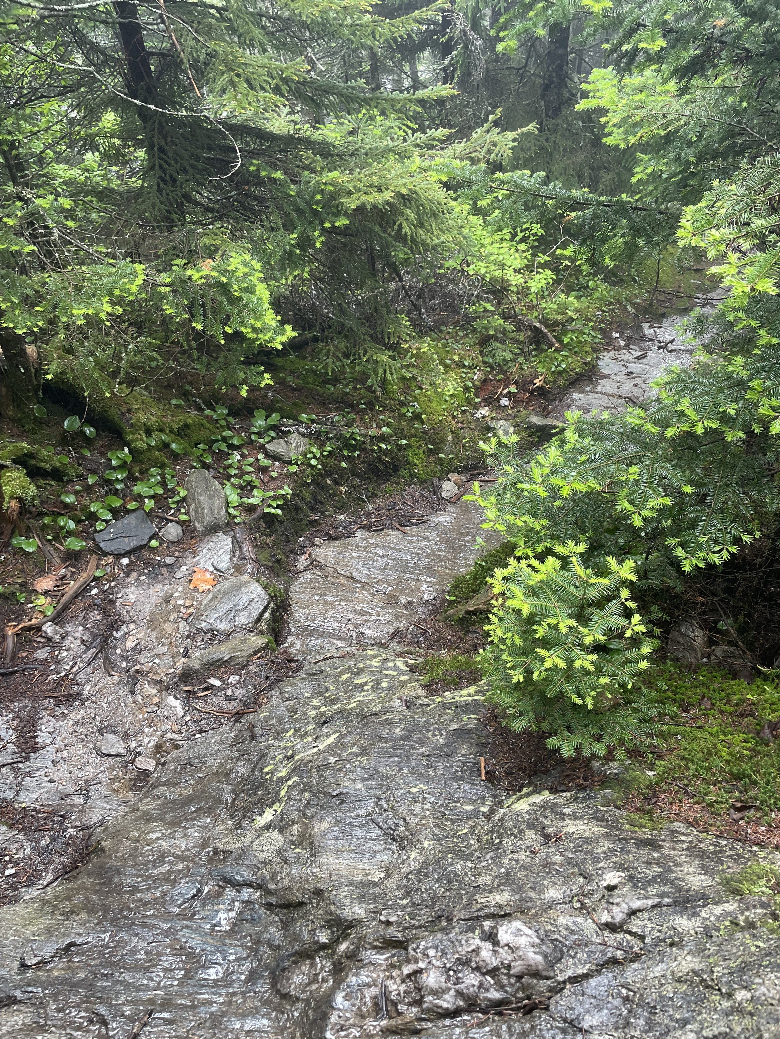
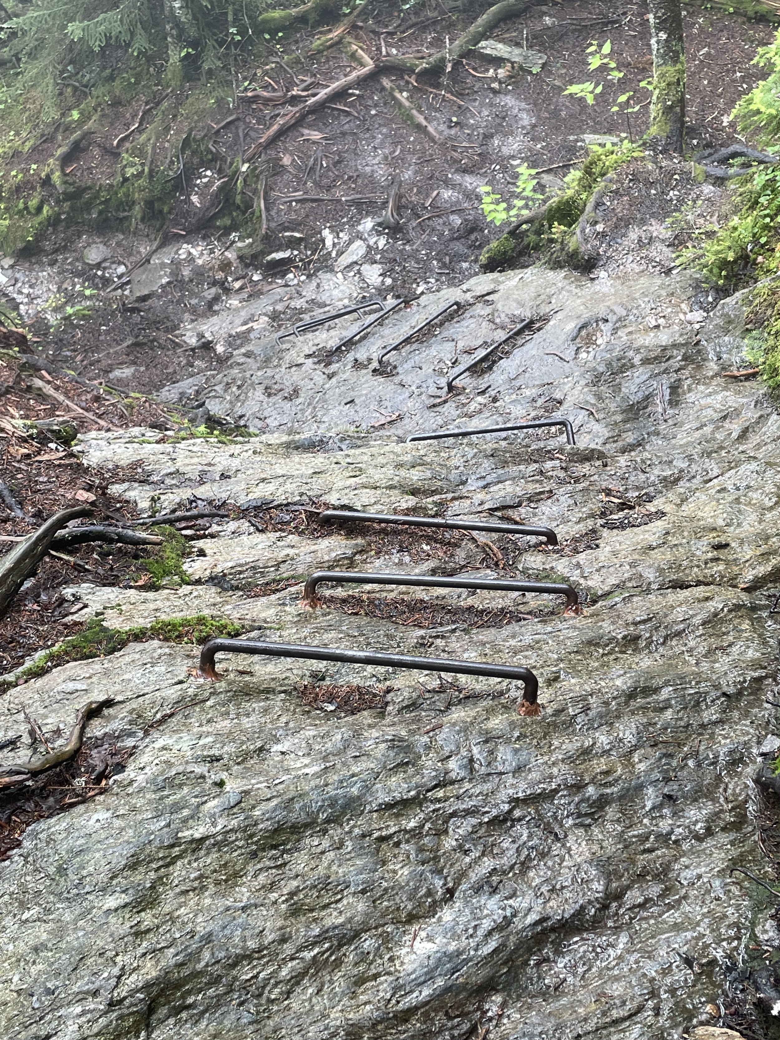
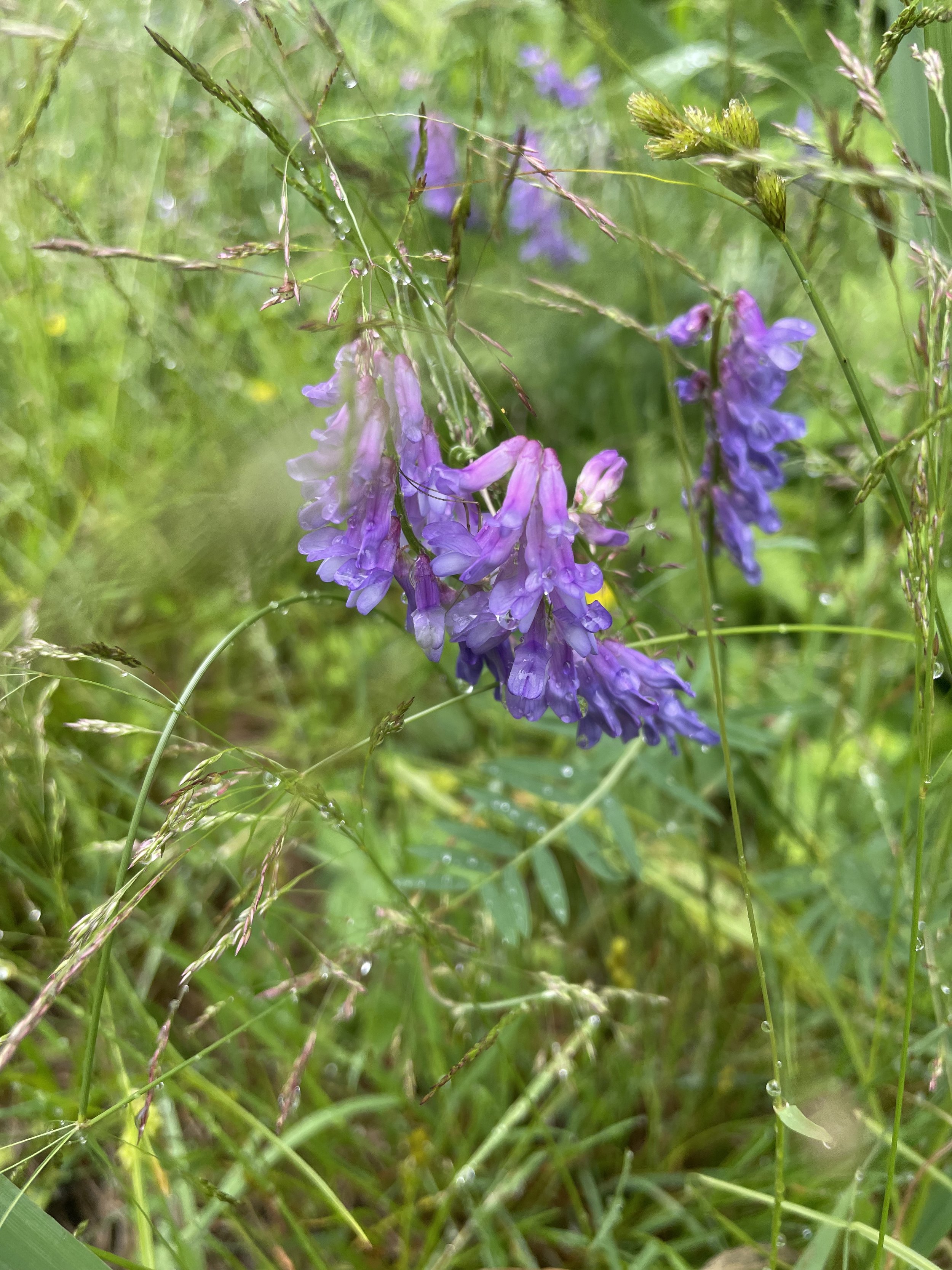
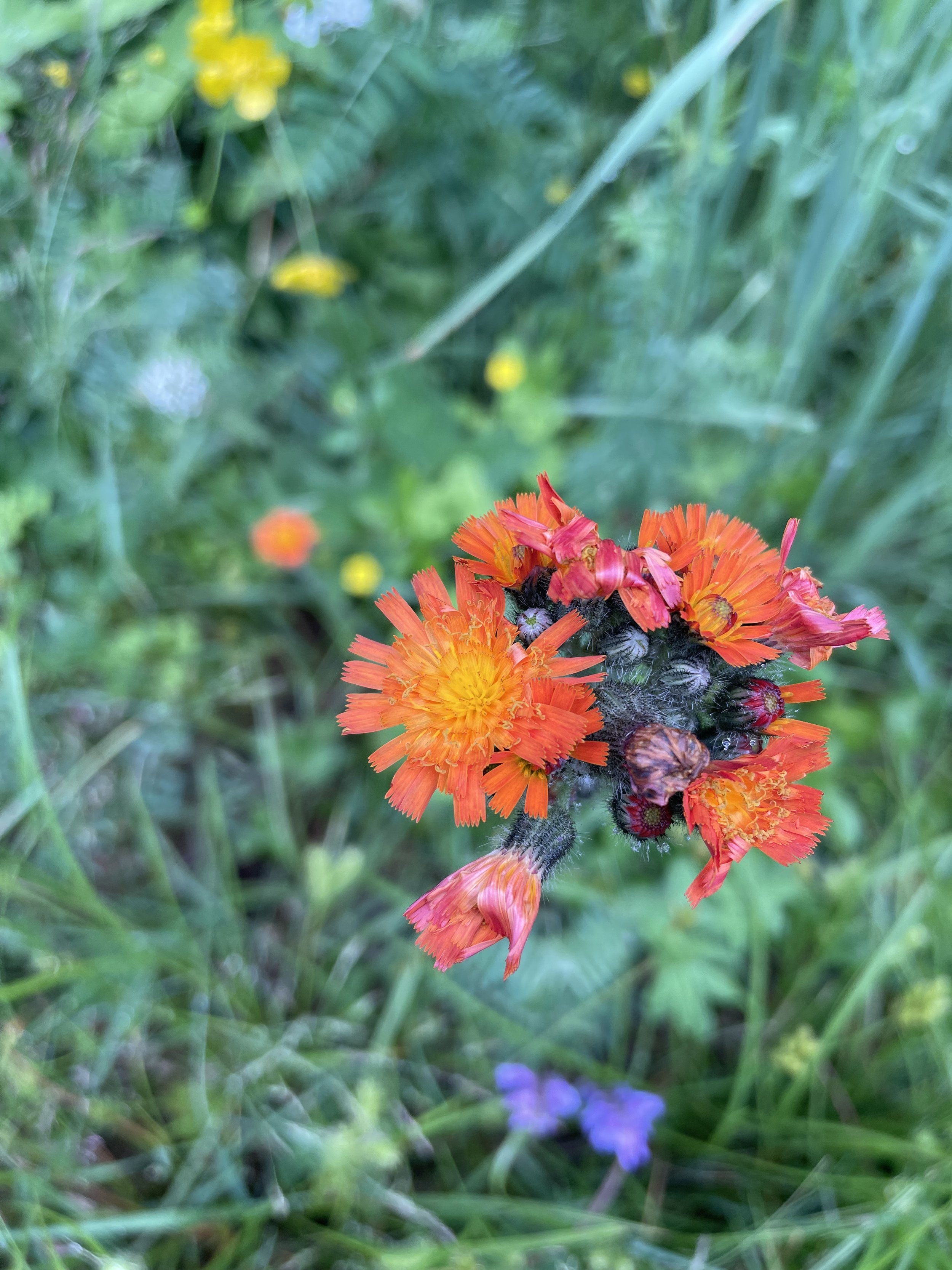
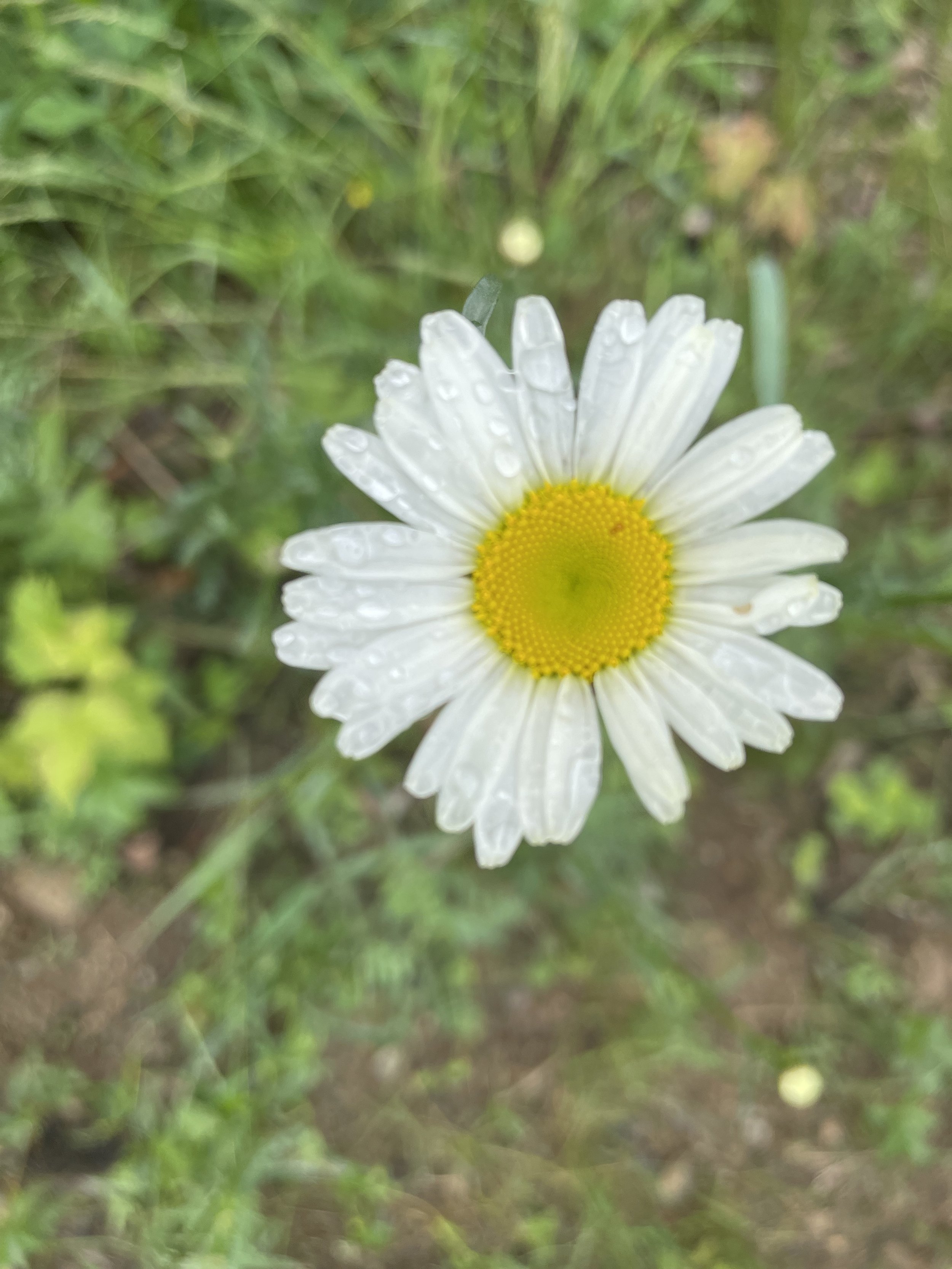
The Stark Mountain Trail
(2.5 miles to the summit – 2,036’, elevation gain)
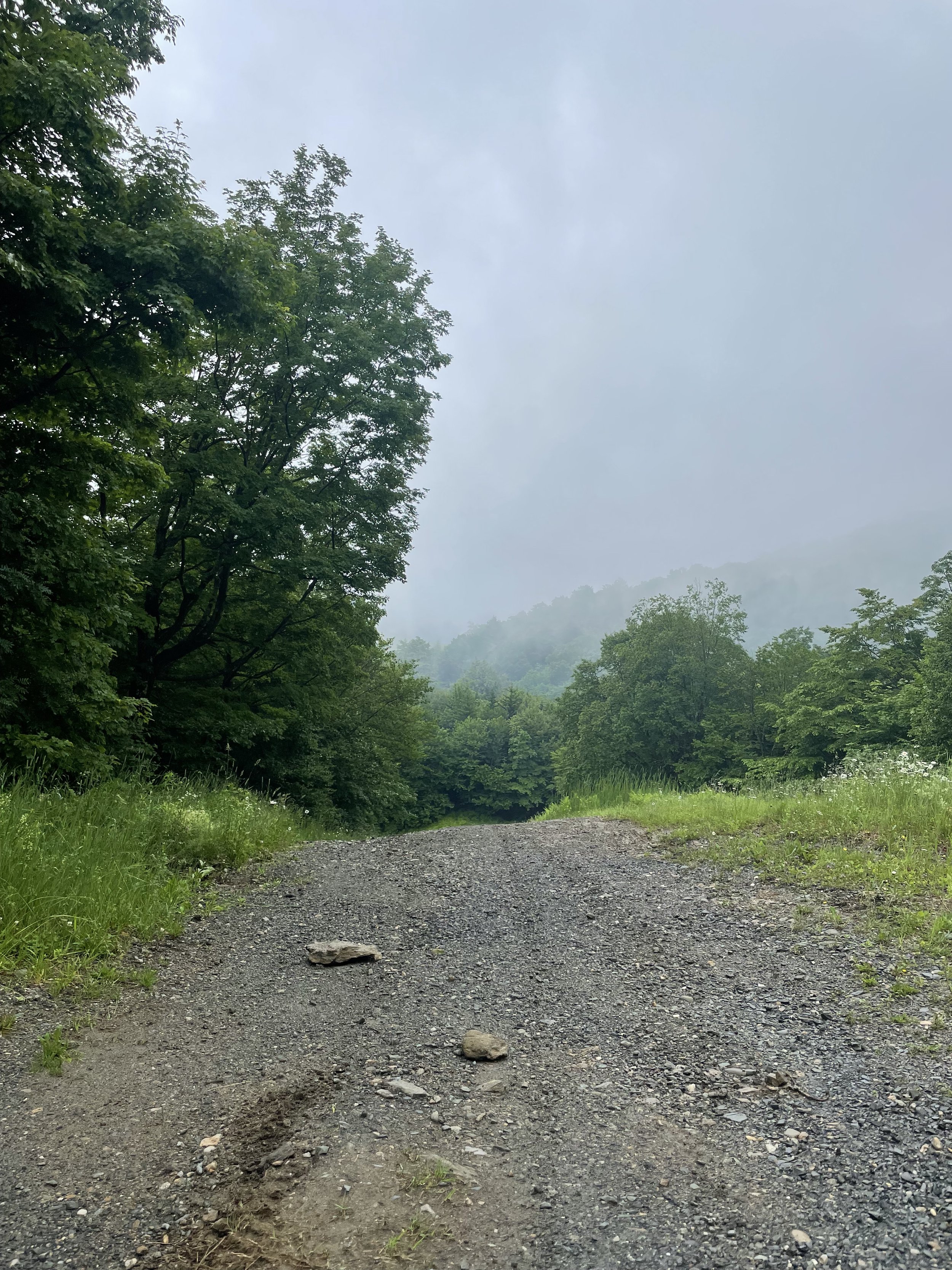
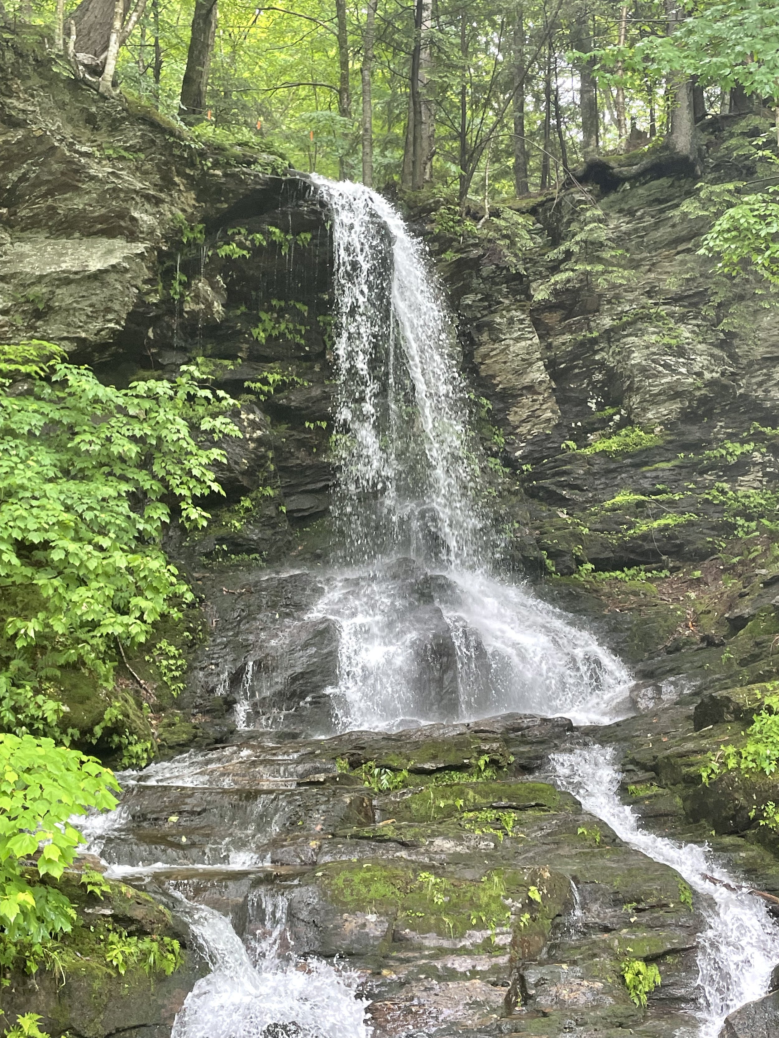
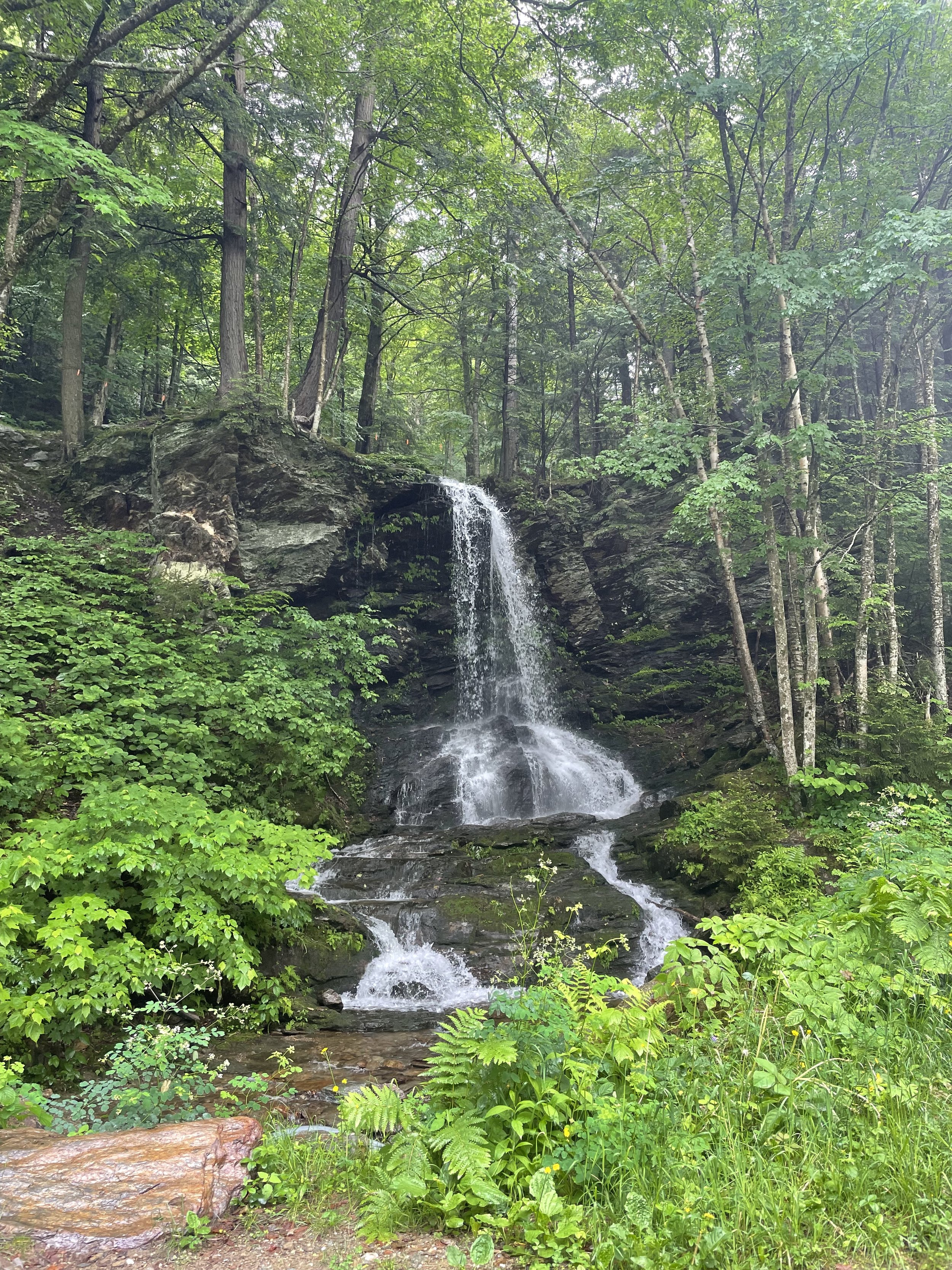
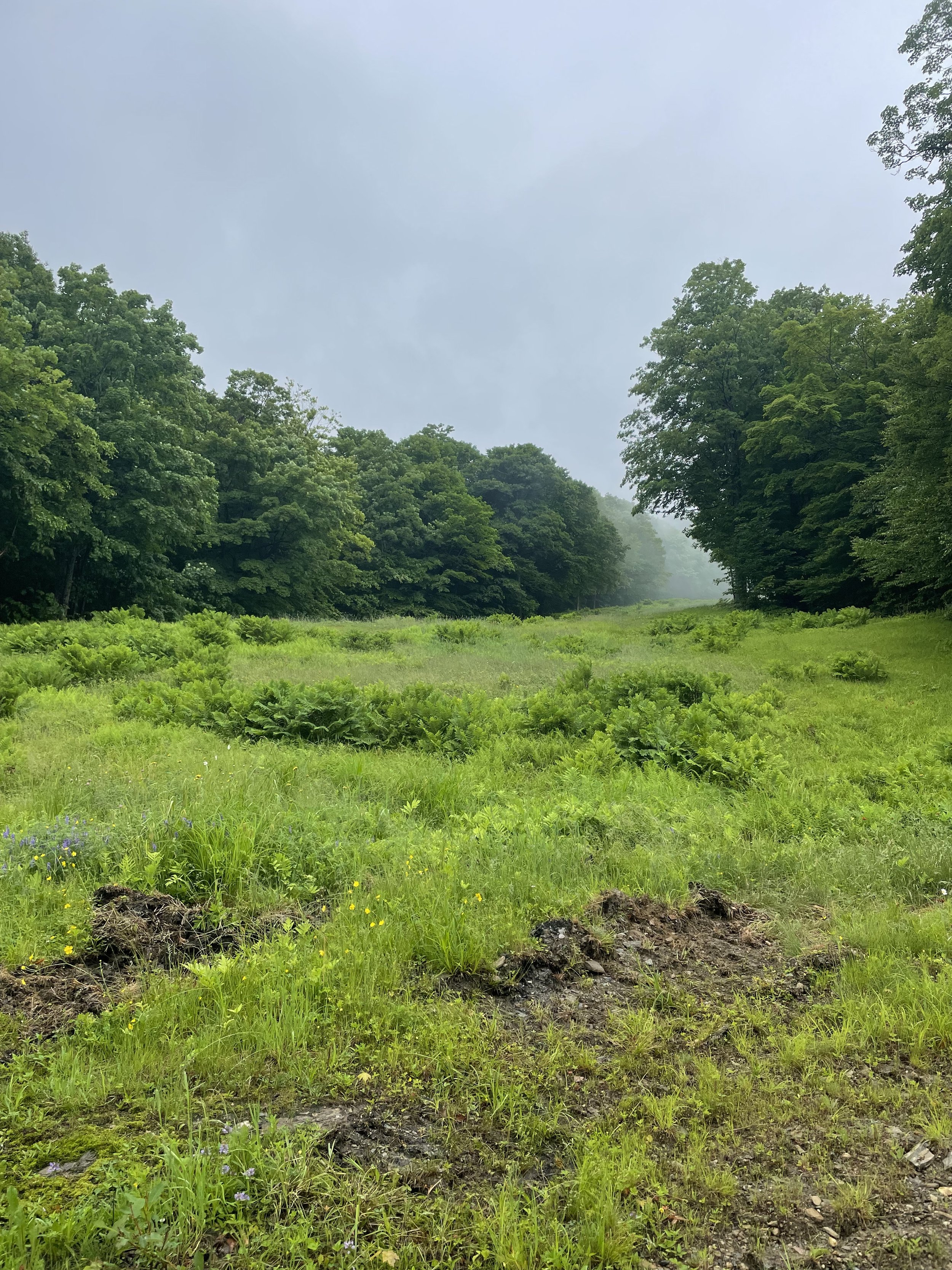
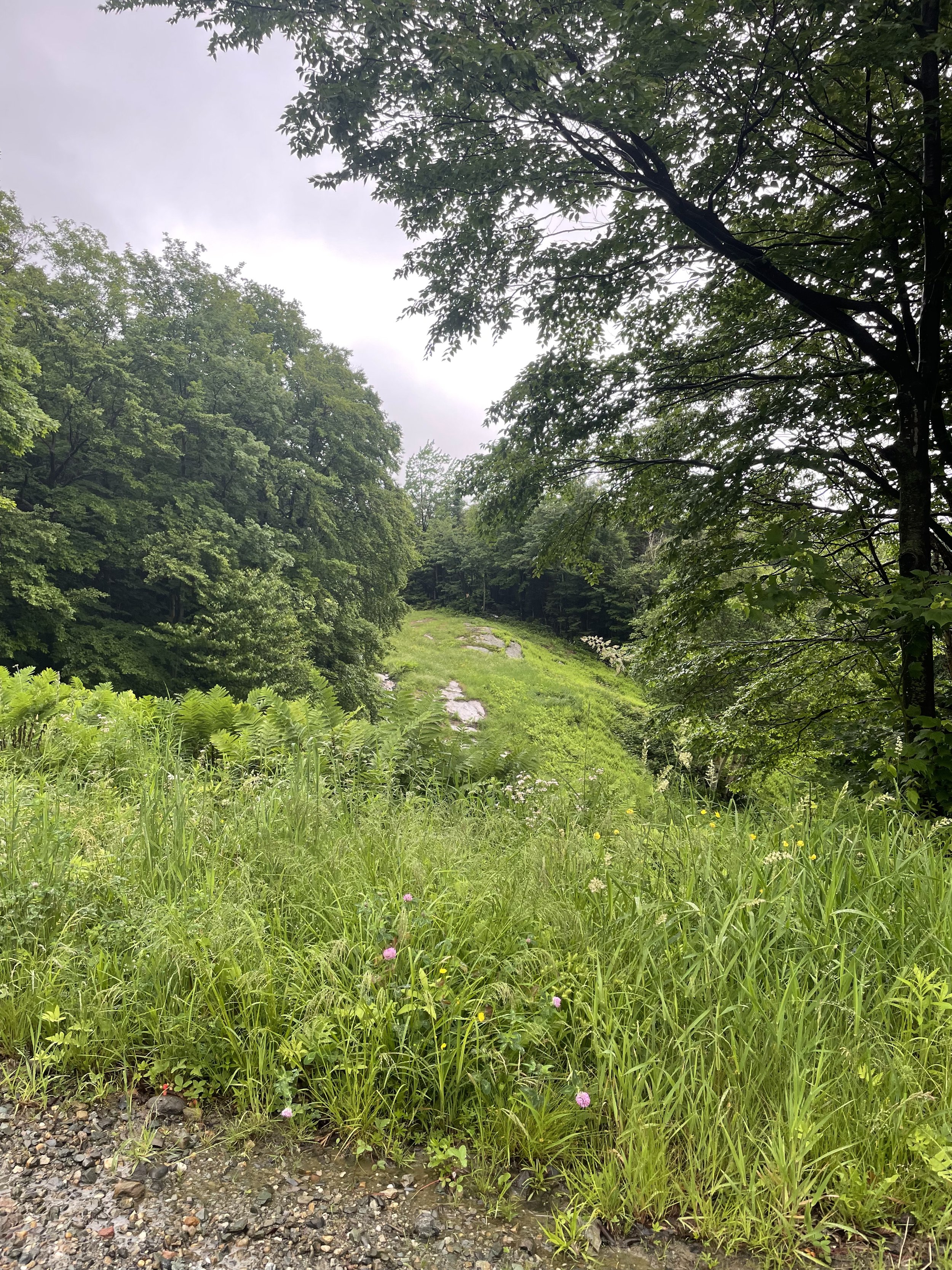
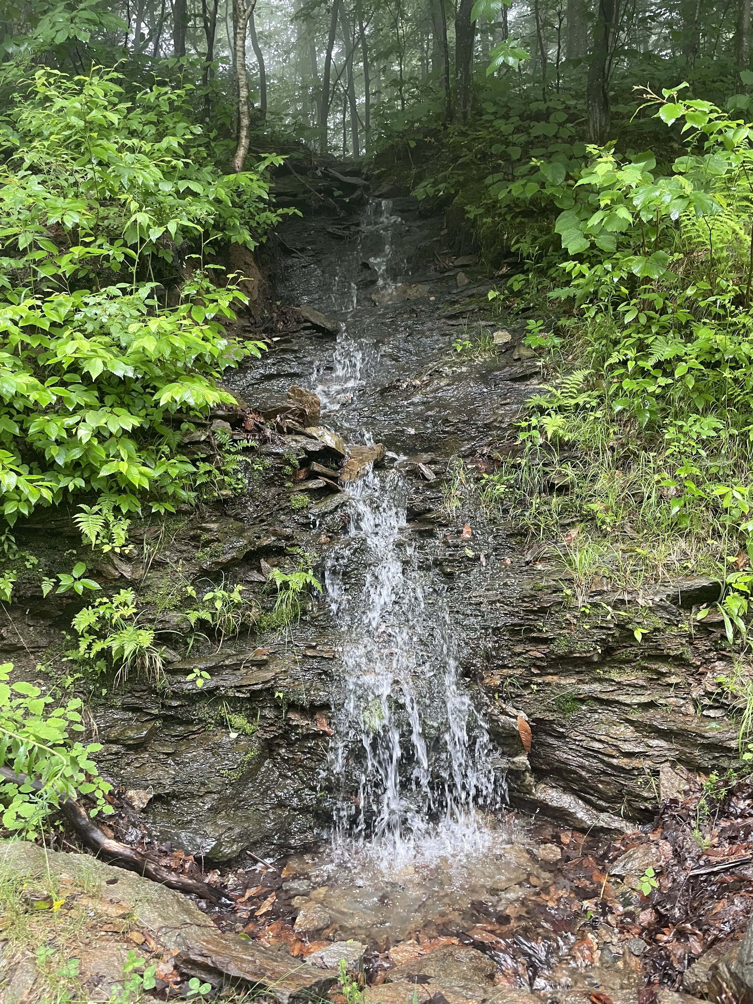
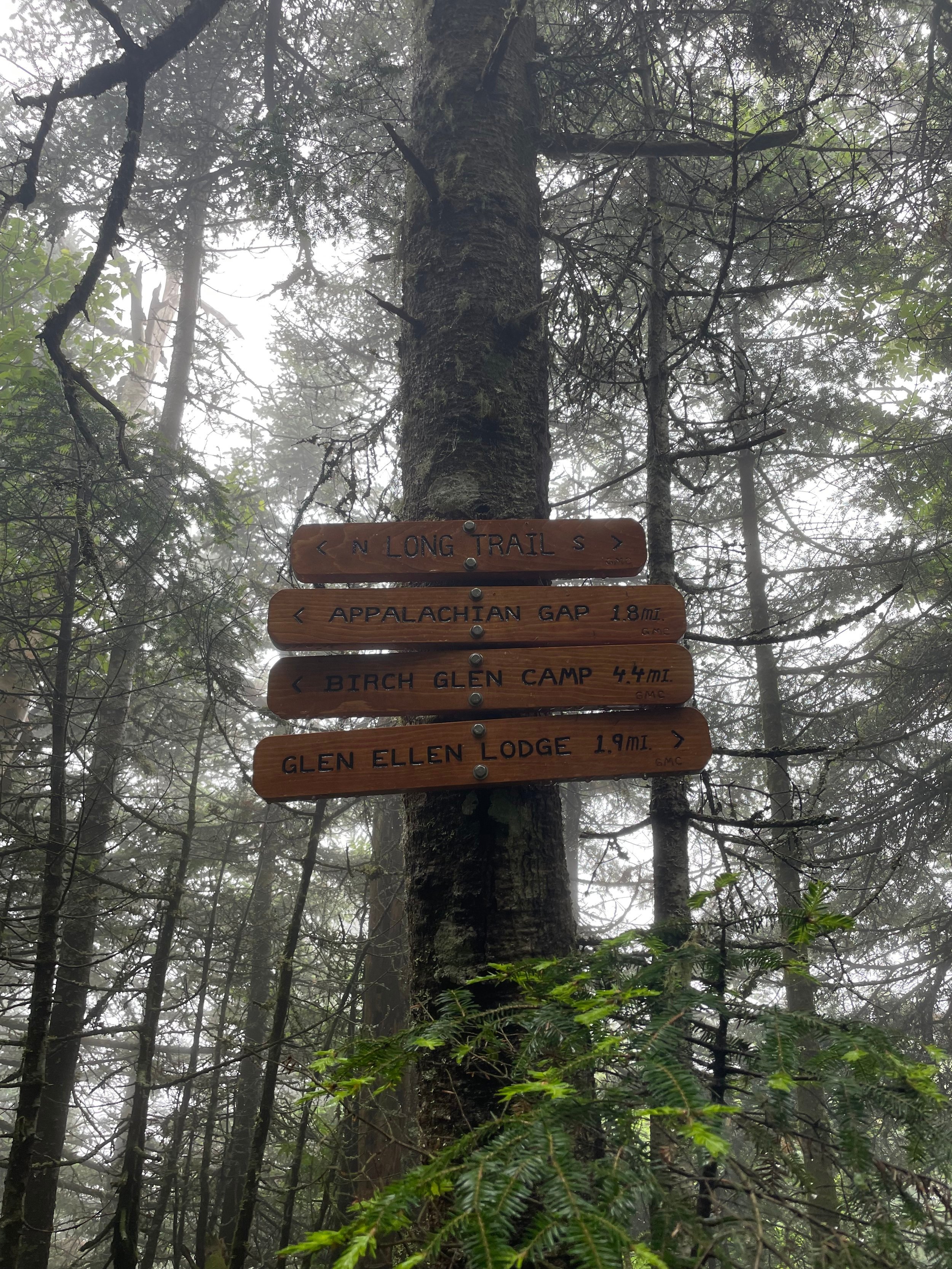
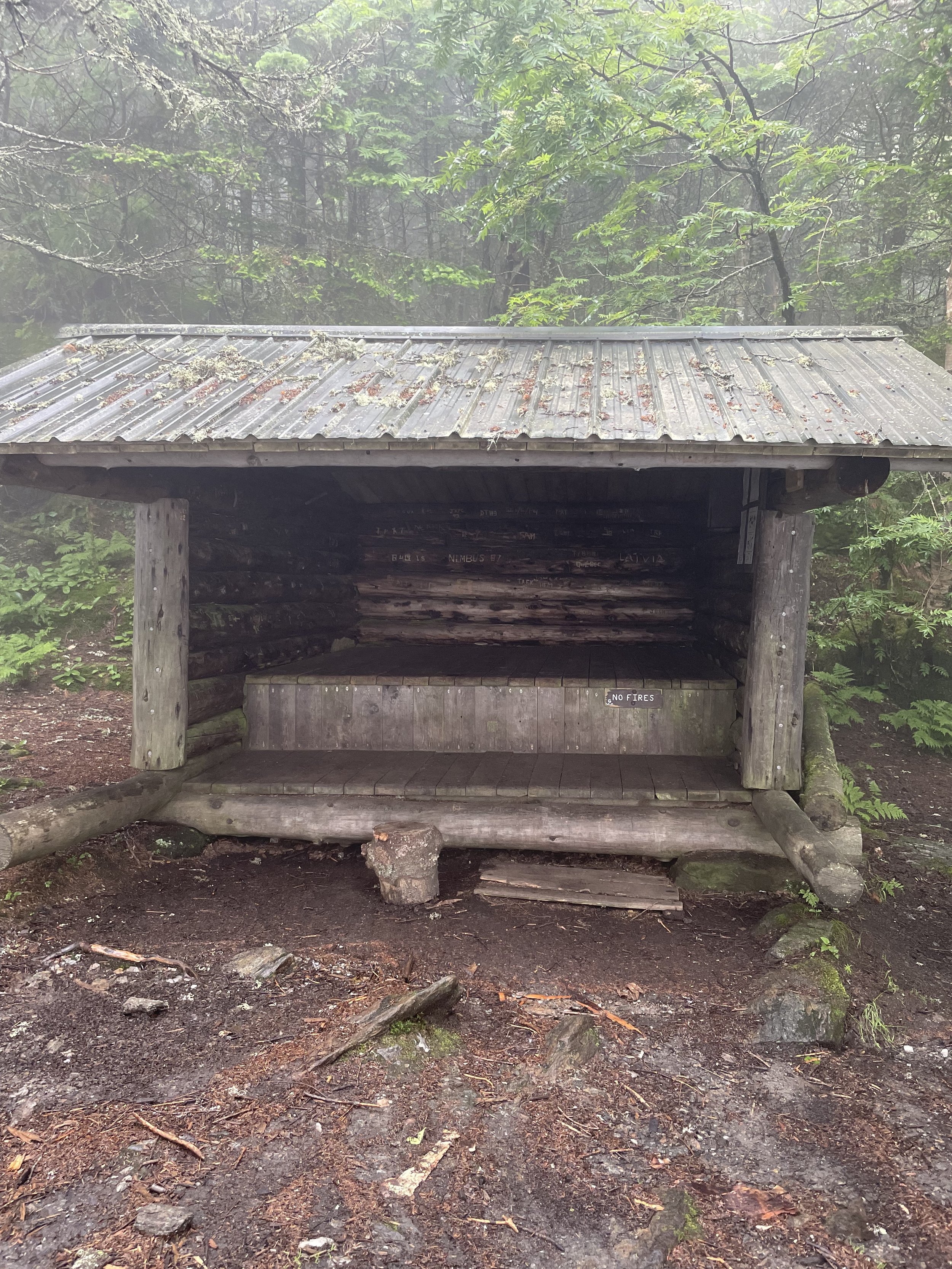
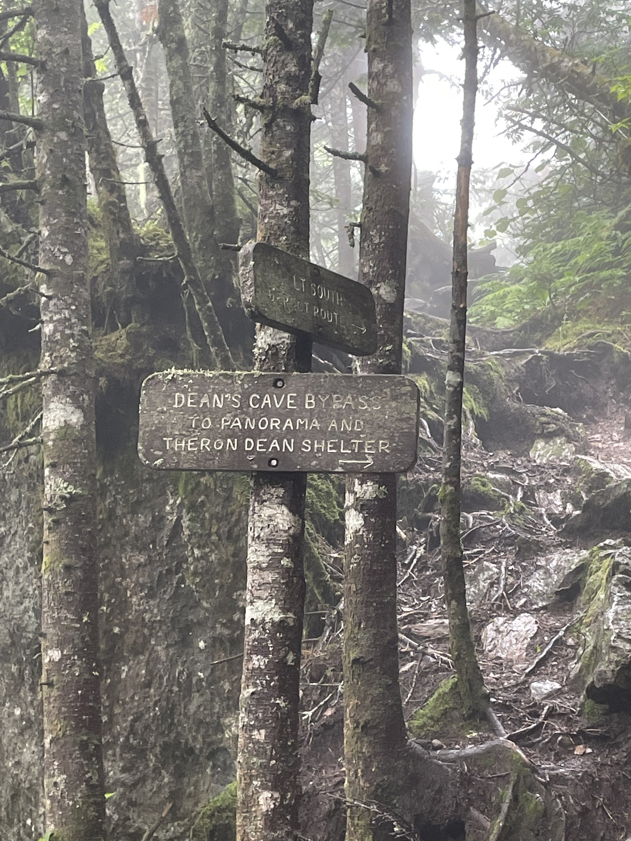
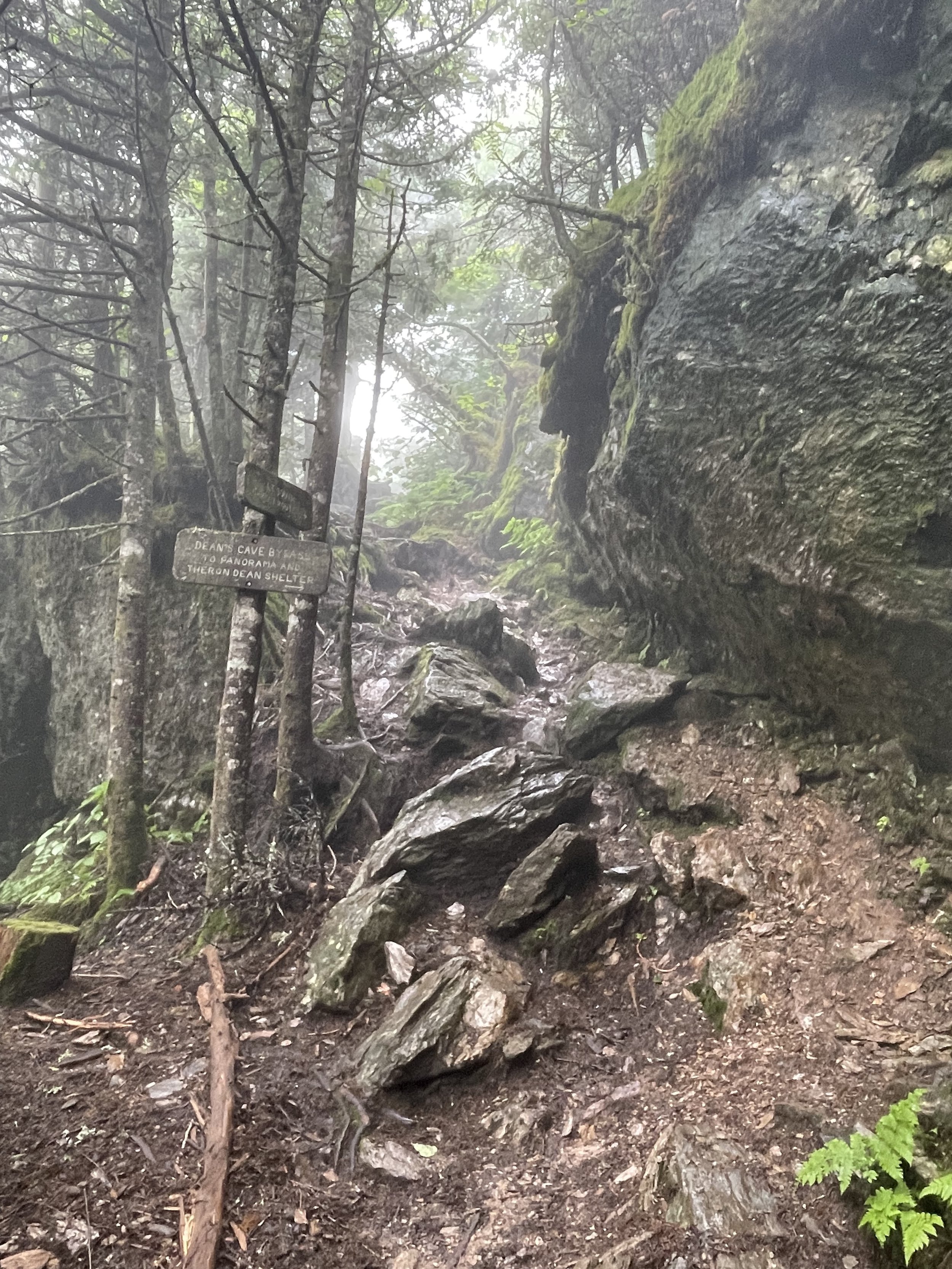
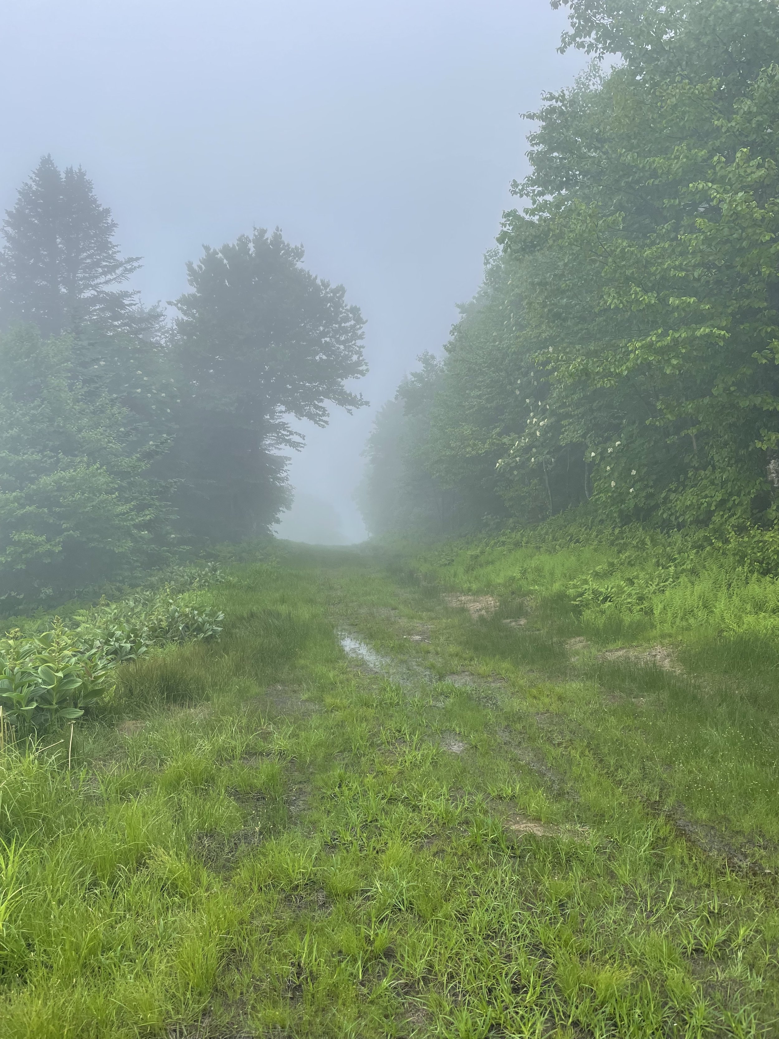
The trail begins at the base of Mad River Glen and follows the wide, well-established “work road” under the single-chair lift. The road meanders up past a large waterfall and ends where it hits the Long Trail (LT) just before the Stark’s Next Shelter. Continue north past the shelter on the LT for a longer loop that connects to the Sunnyside Trail.
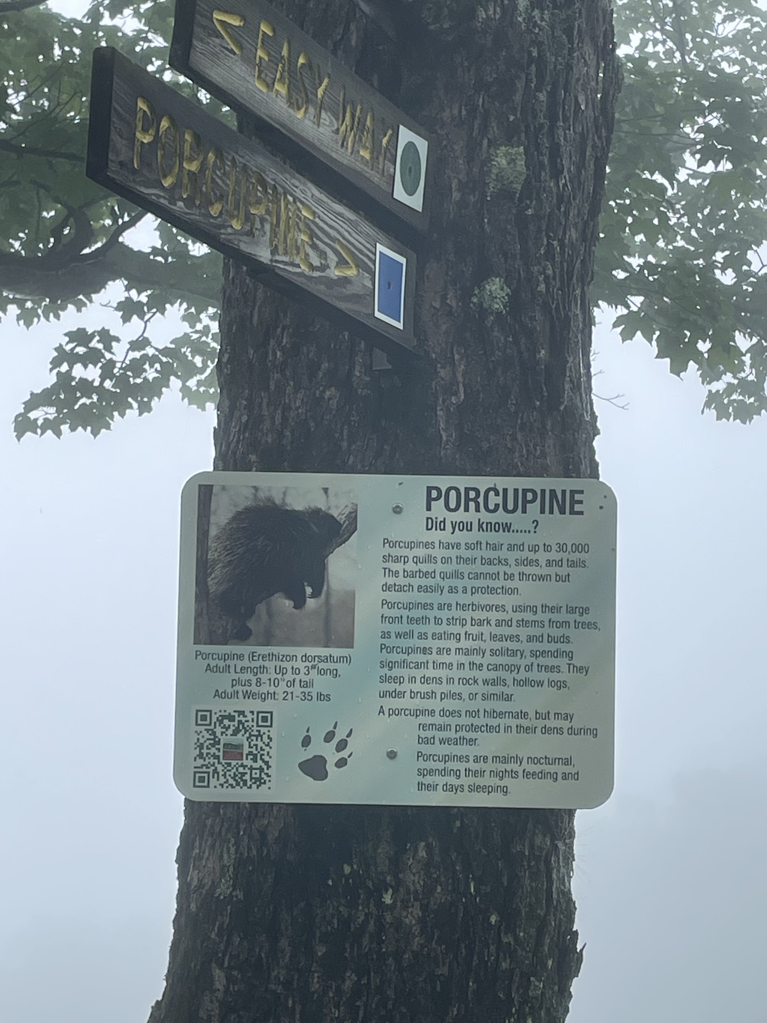
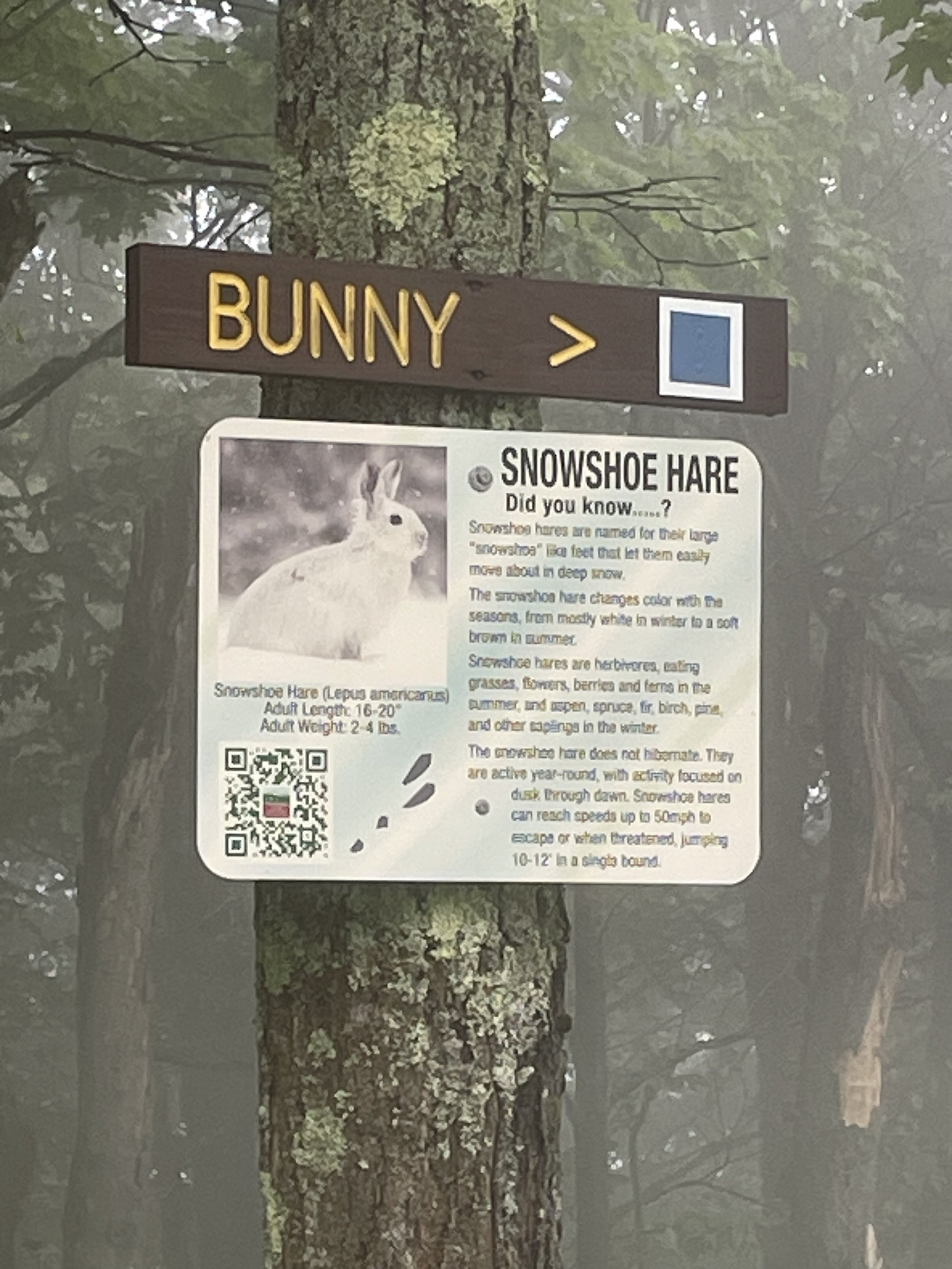
Bunny Trail
This alternative route is slightly steeper than the Stark Mountain Trail. It ascends the “Bunny” ski trail and rejoins the Stark Mountain Trail about 0.5 miles below the Single Chair mid-station. This intersection is just 0.2 miles downhill from the Sunnyside Trail and cuts off 0.4 miles of the Stark Mountain Trail.
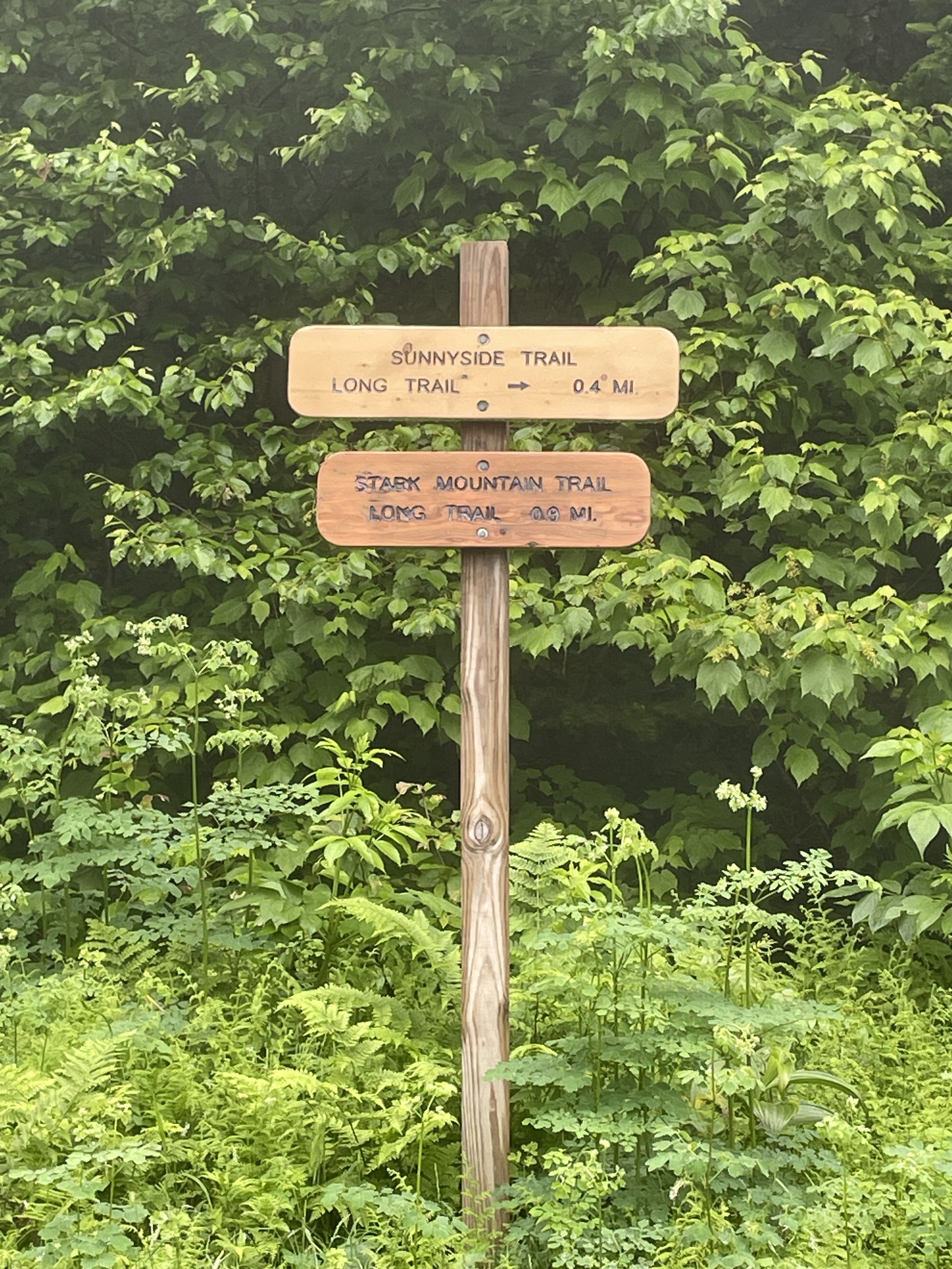
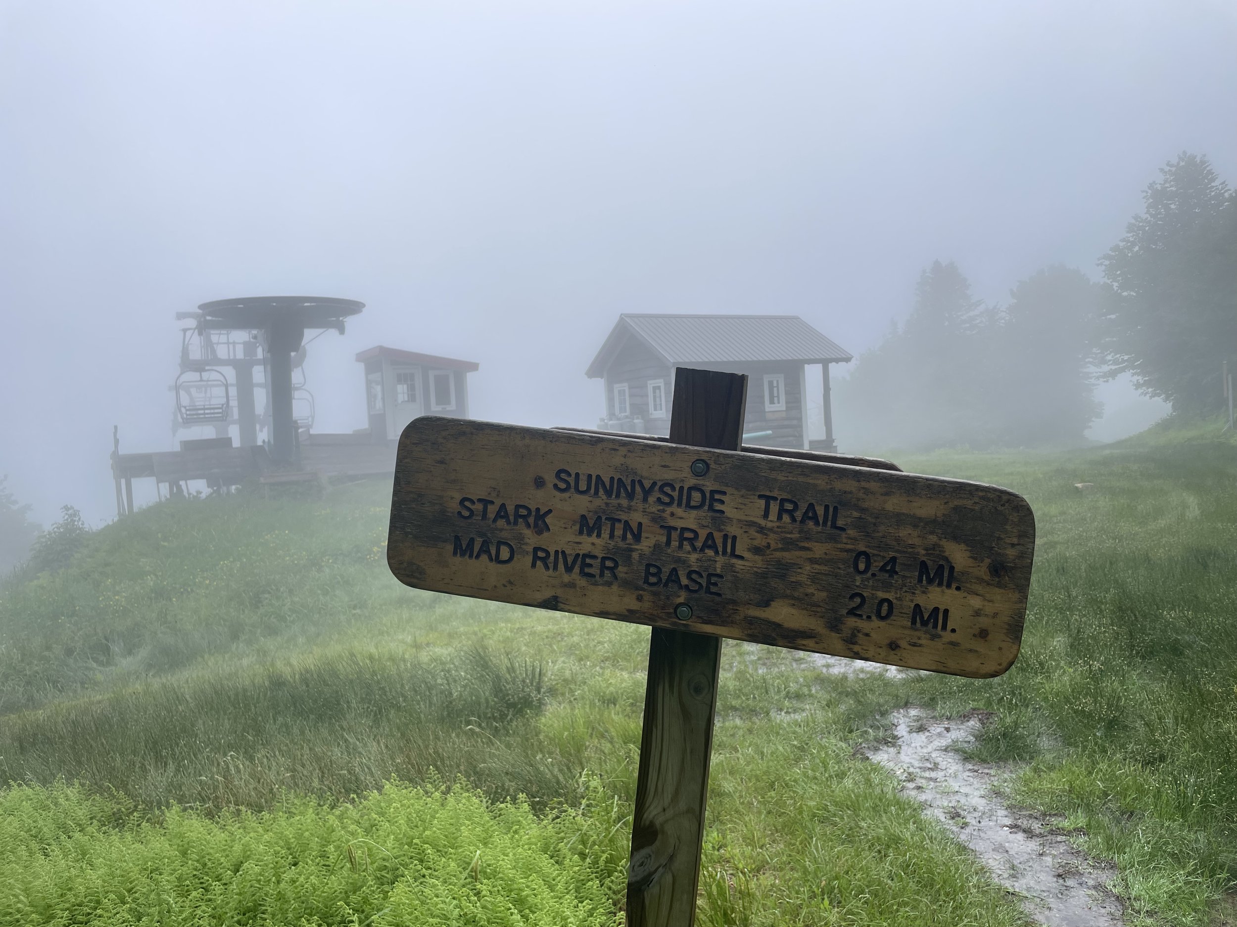
The Sunnyside Trail
(0.4 miles, 300’ elevation gain)
The Sunnyside trail begins at the intersection with the Stark Mountian trail. To reach the Sunnyside trail from the base of Mad River Glen take the Stark Mountain Trail uphill until you reach the trail junction. Take a right at the intersection to follow the ski trail uphill to the Sunnyside Double Lift.
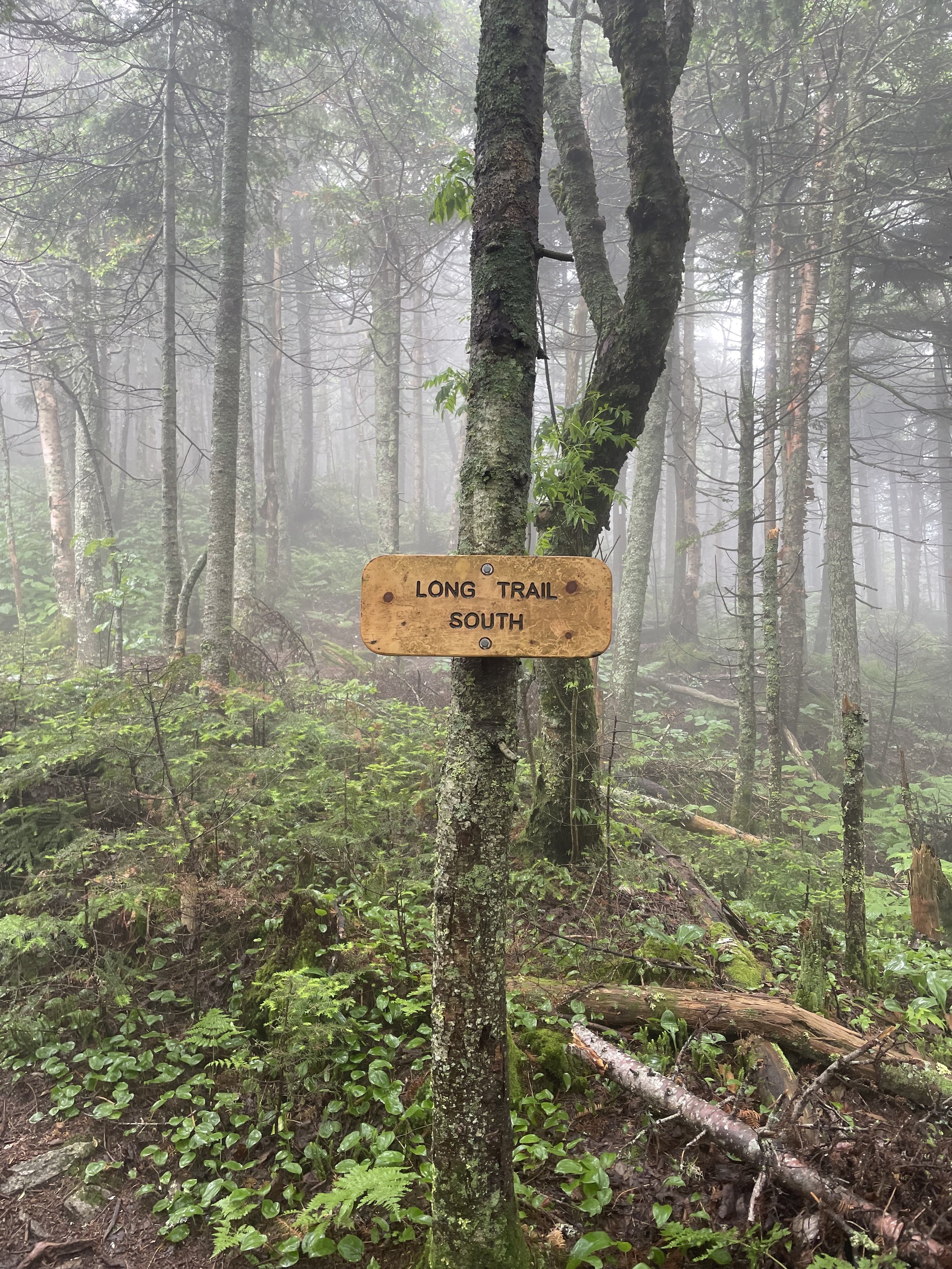
The Long Trail (LT)
(2.1 miles, 1,400’ elevation gain)
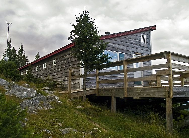
This section of the LT runs south from the Appalachian Gap to the top of the Single Chair. It intersects the Sunnyside Trail at the top of the Sunnyside Double lift and the Stark Mountain Trail at the top of the Single Chair. For a longer hike, continue south on the LT to where it intersects with the Jerusalem Trail, Mount Ellen, or Lincoln Gap.
Jerusalem Trail
(2.4 miles, 1,800’ descent)
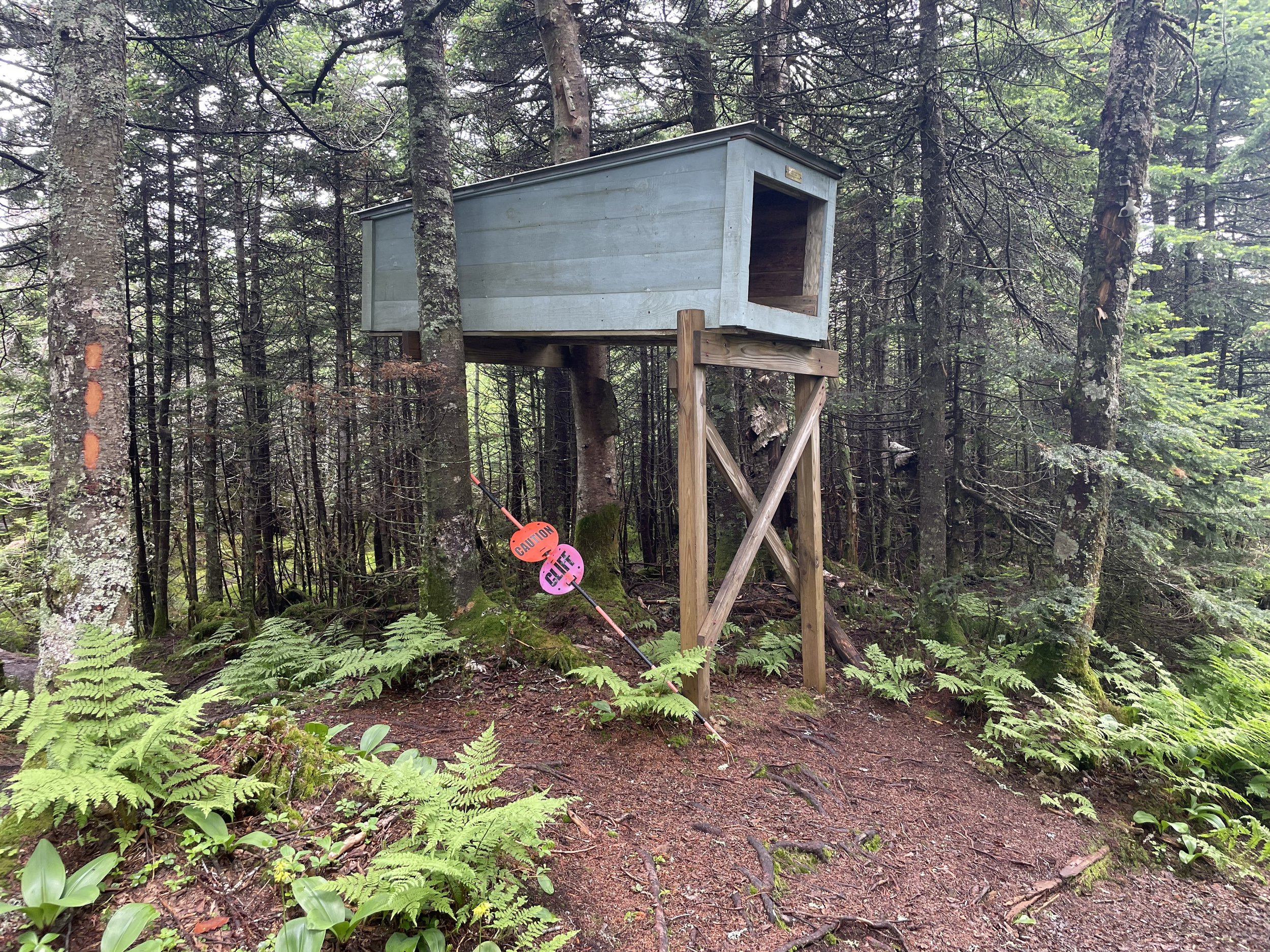
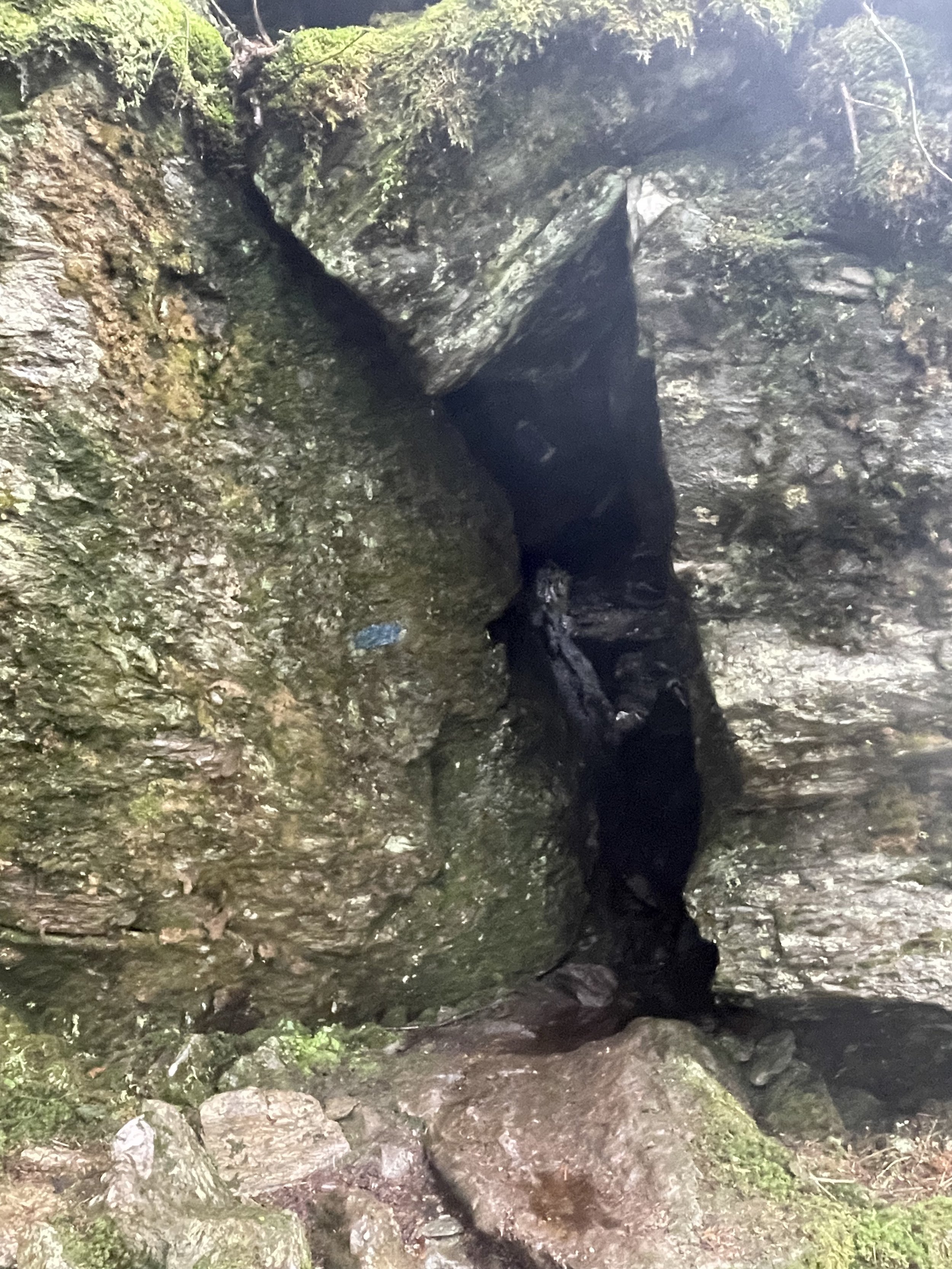
The Jerusalem trail intersects the LT south of the Stark Mountain Trail. It leads to the Jim Dwire Road trailhead parking area in Jerusalem. To get there from the base of Mad River Glen, hike the Stark Mountain Trail to the LT intersection. Head south on the LT for 0.9 miles past the unmarked 3,661ft summit of Stark Mountain and take a right at the trail junction.
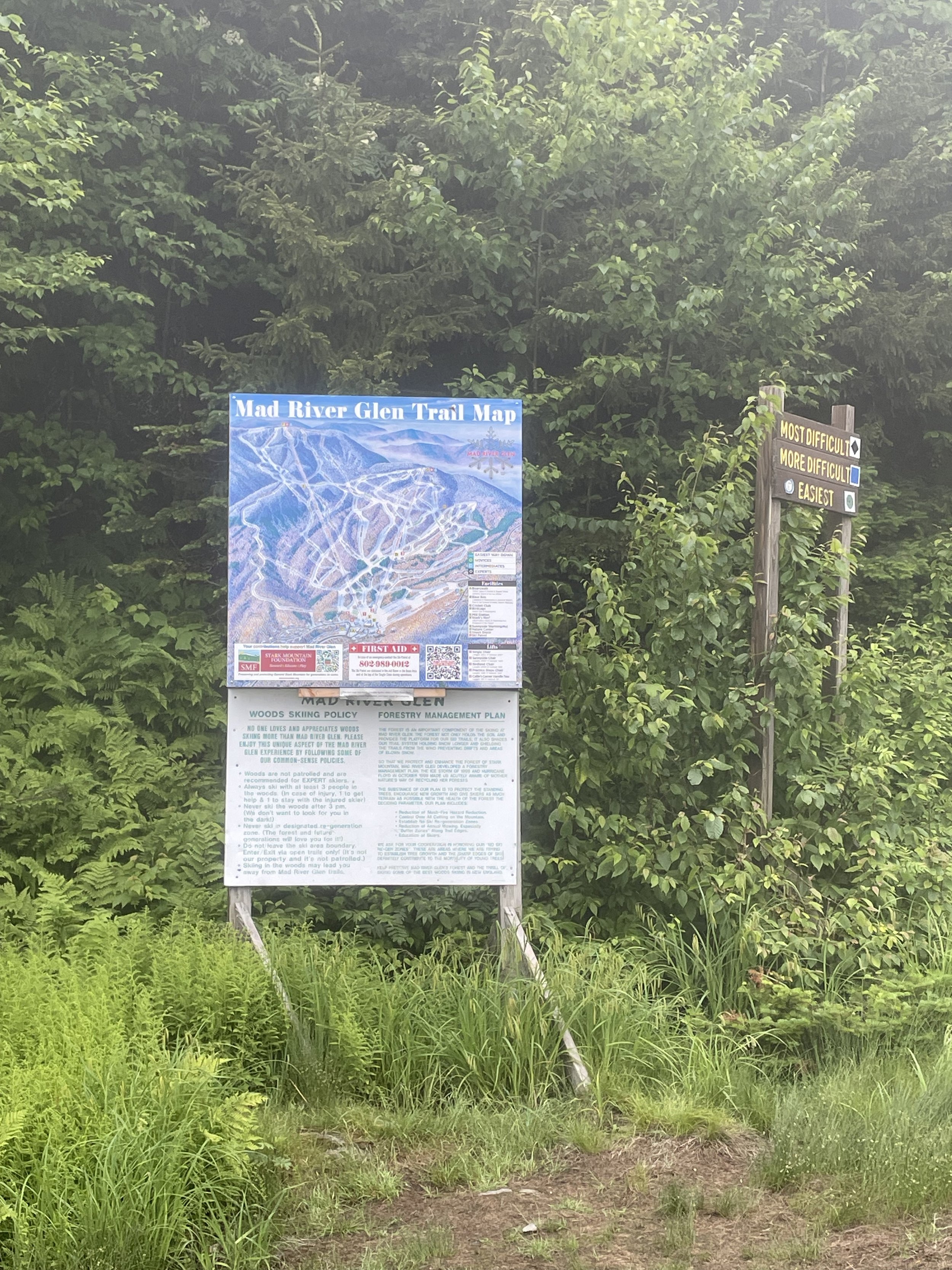
Click on the documents below to access the Stark Mountain Hiking and Snowshoe Guides.
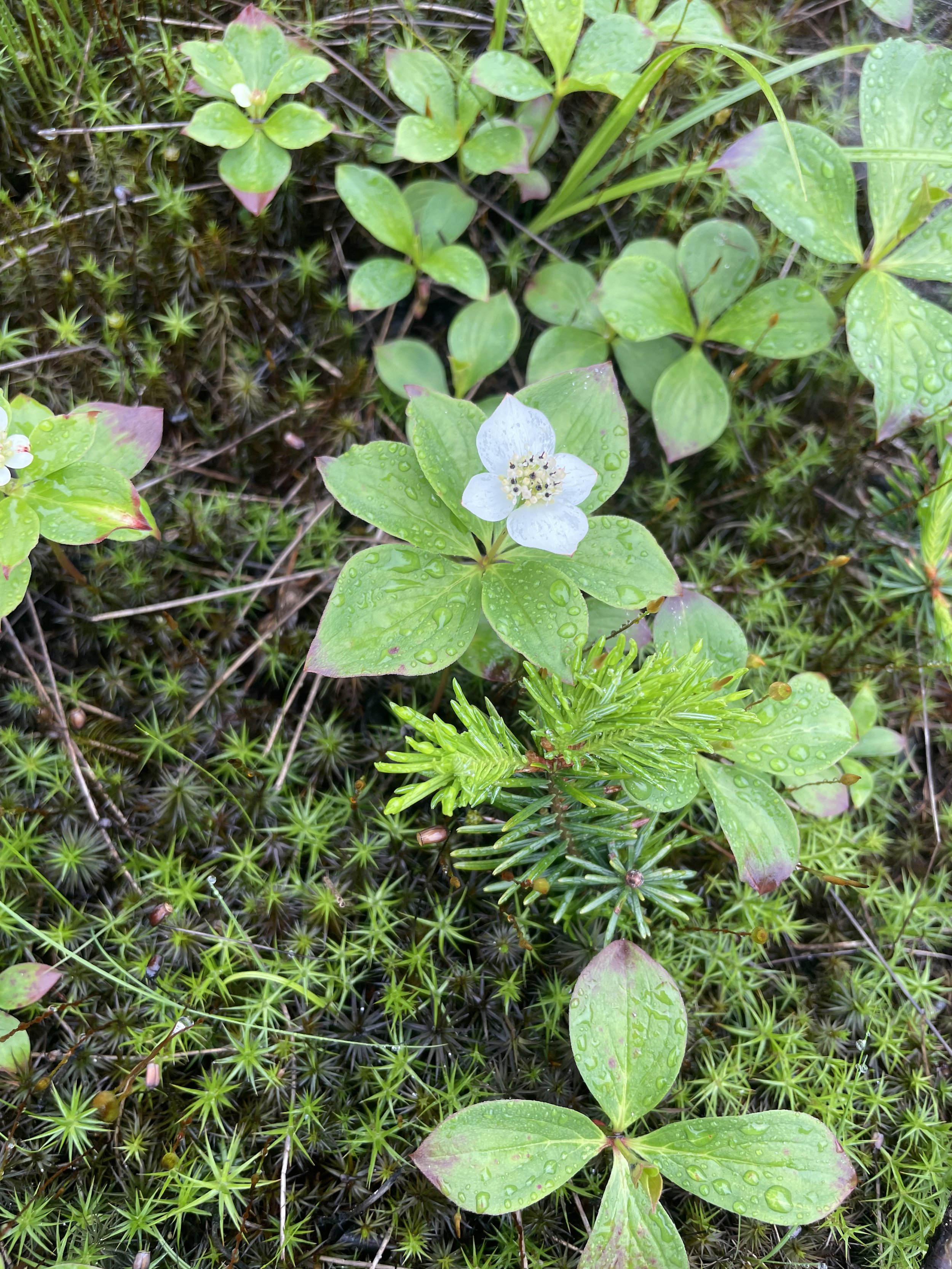
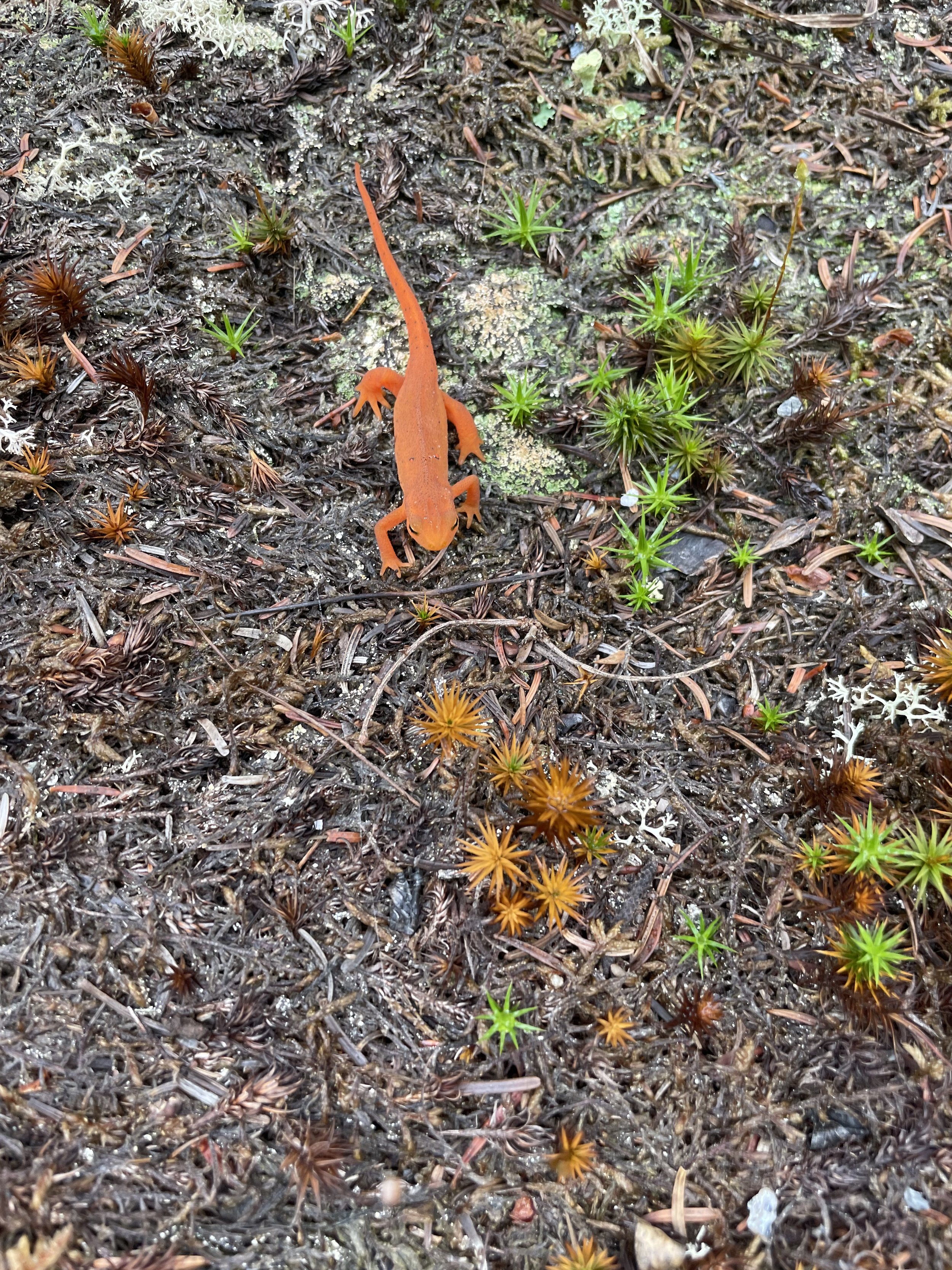
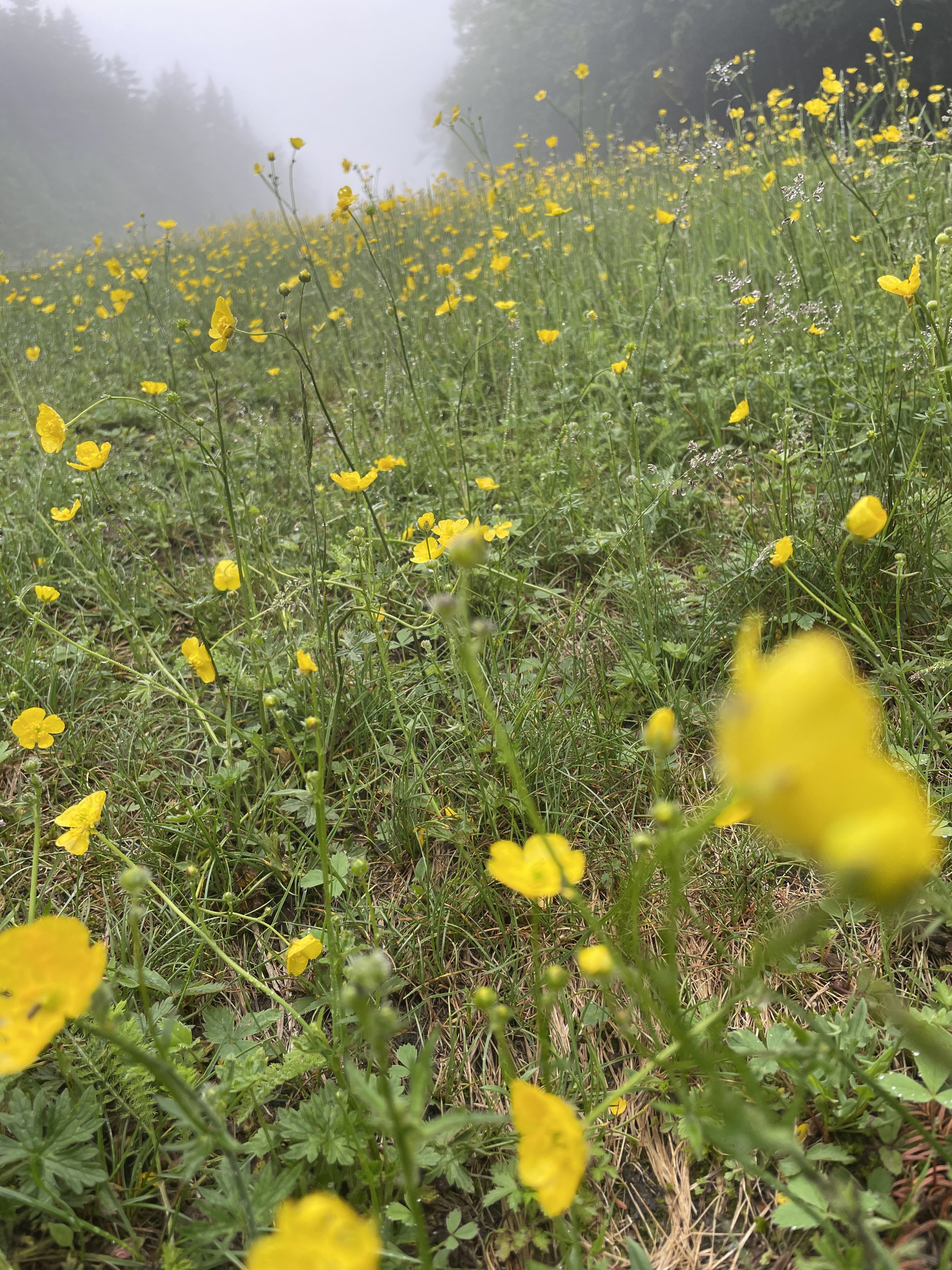
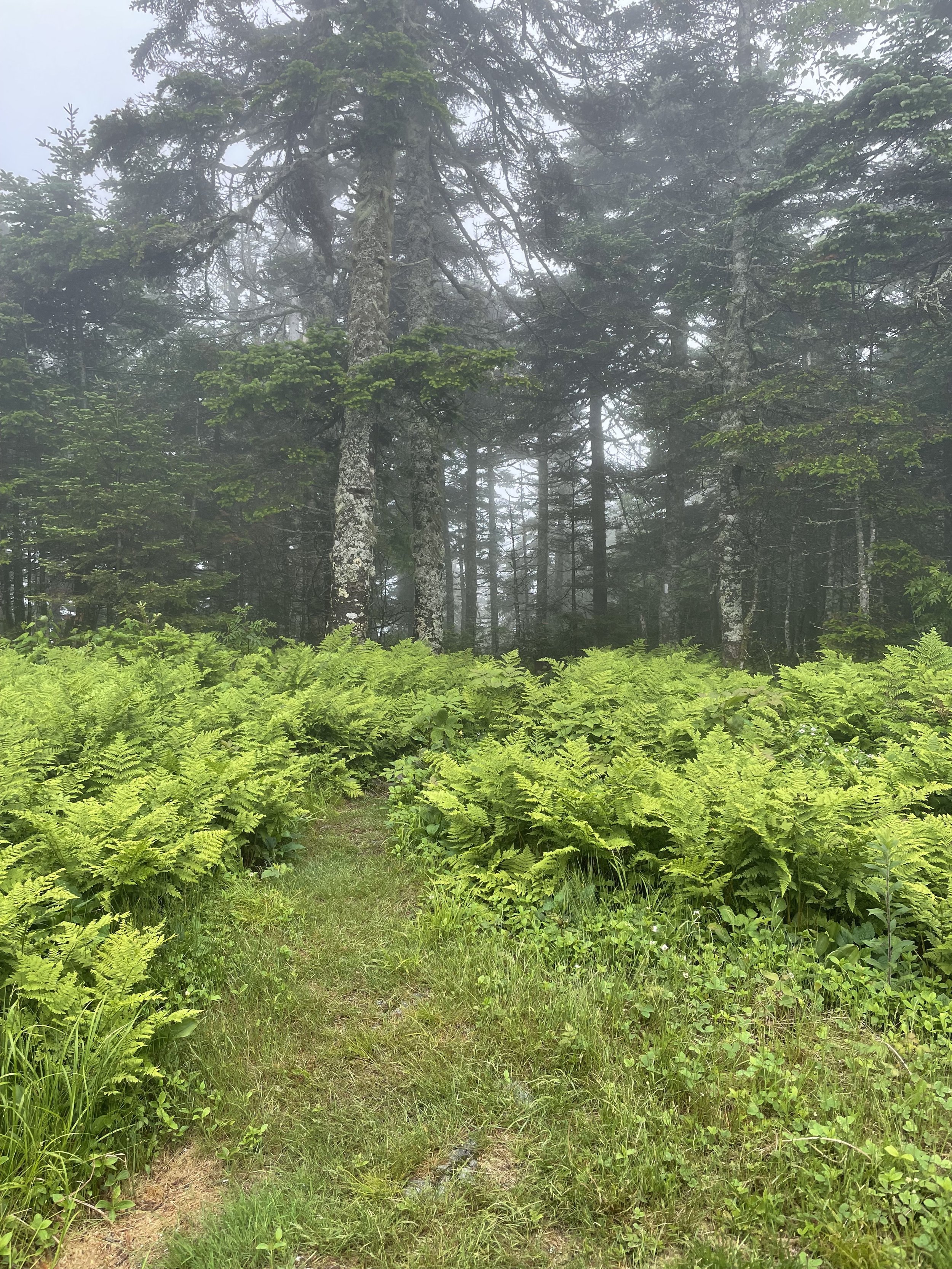
Click on the right arrow below to view photos and READ ABOUT HIKING the Stark Mountain Trail.
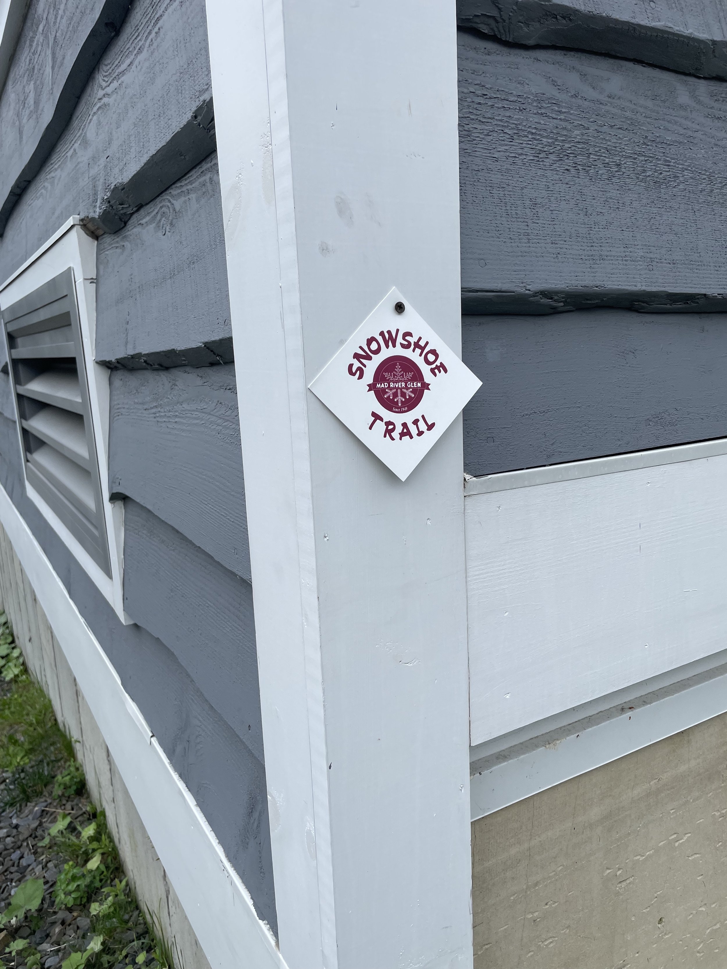
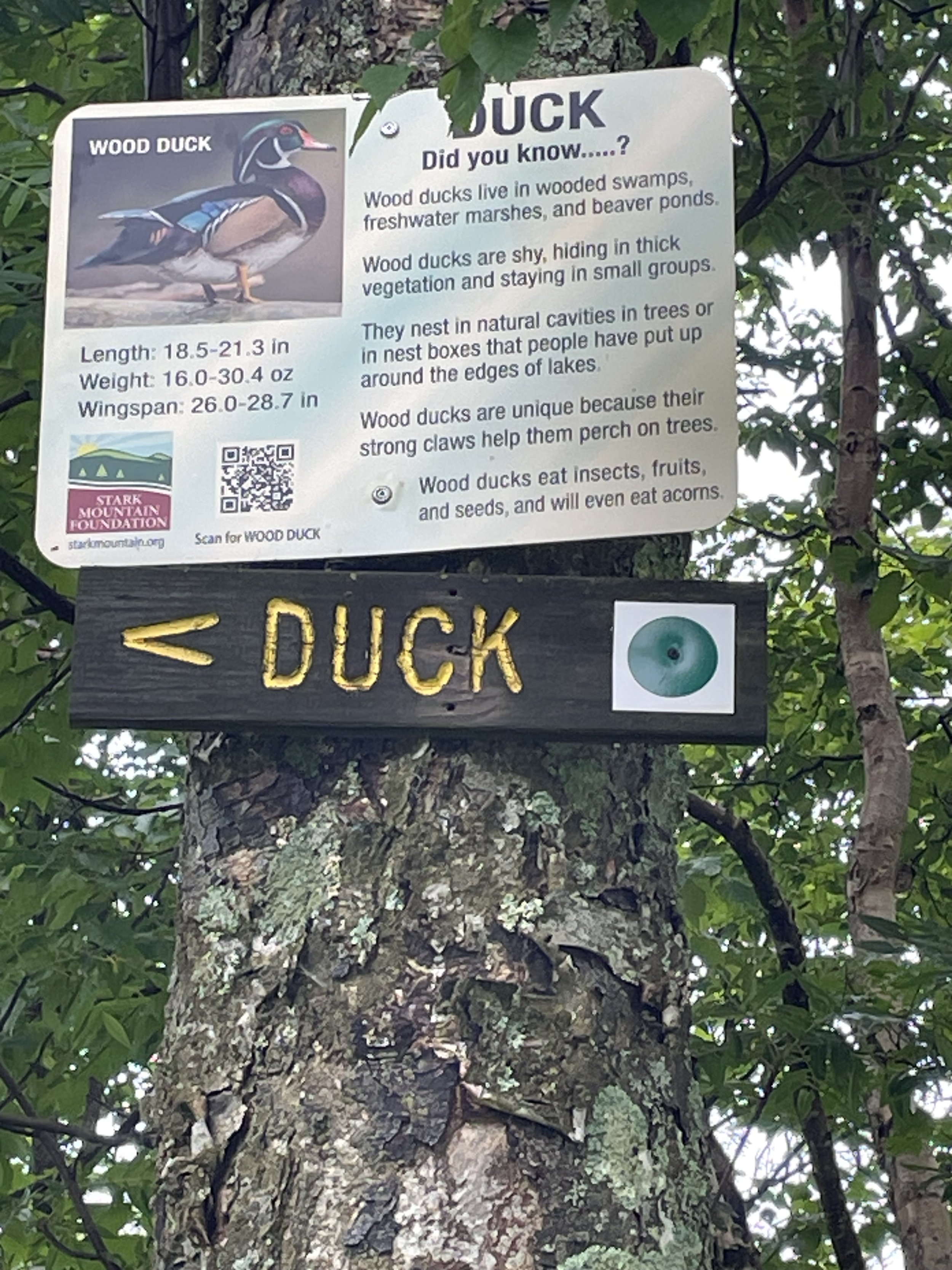
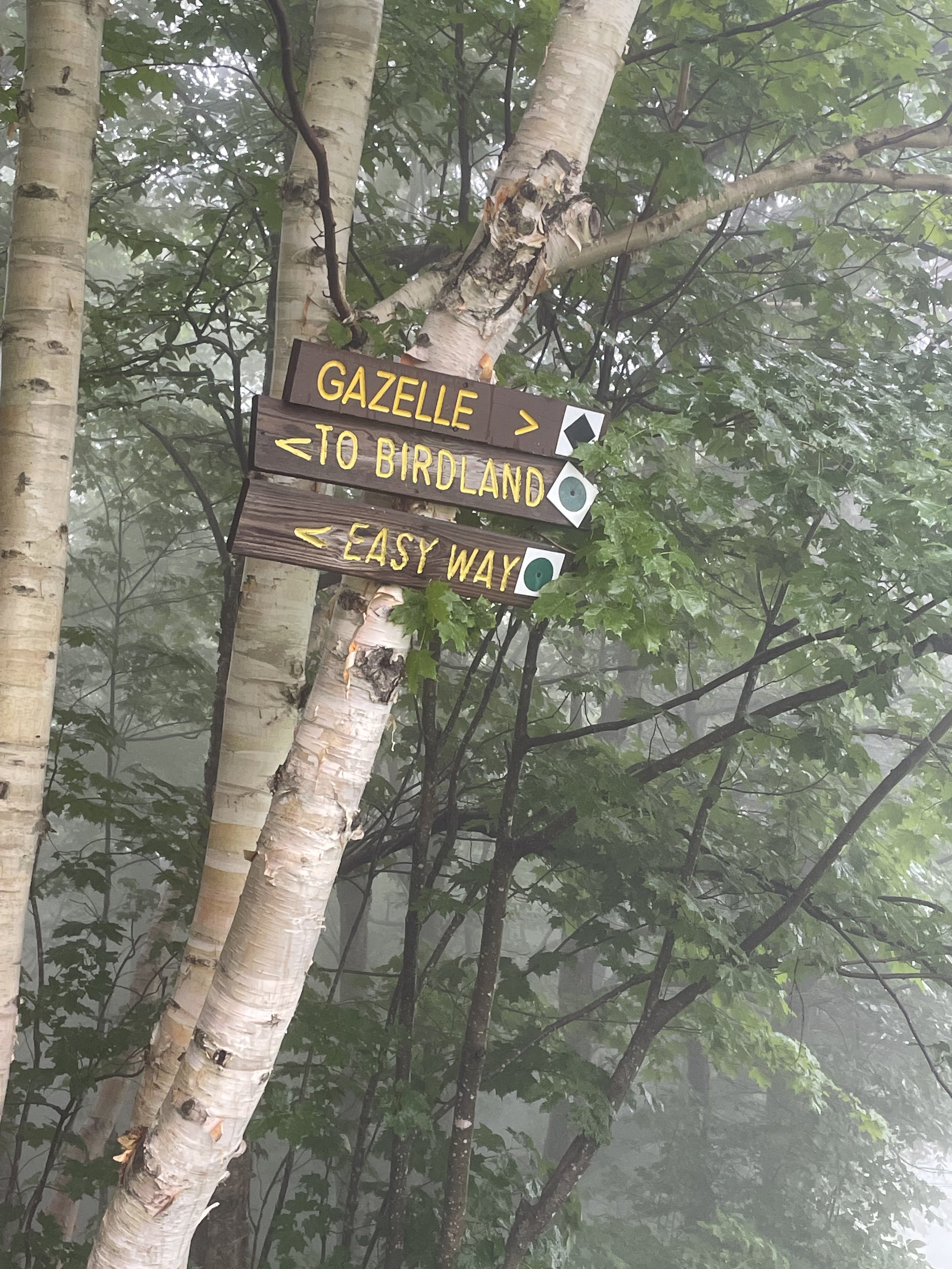
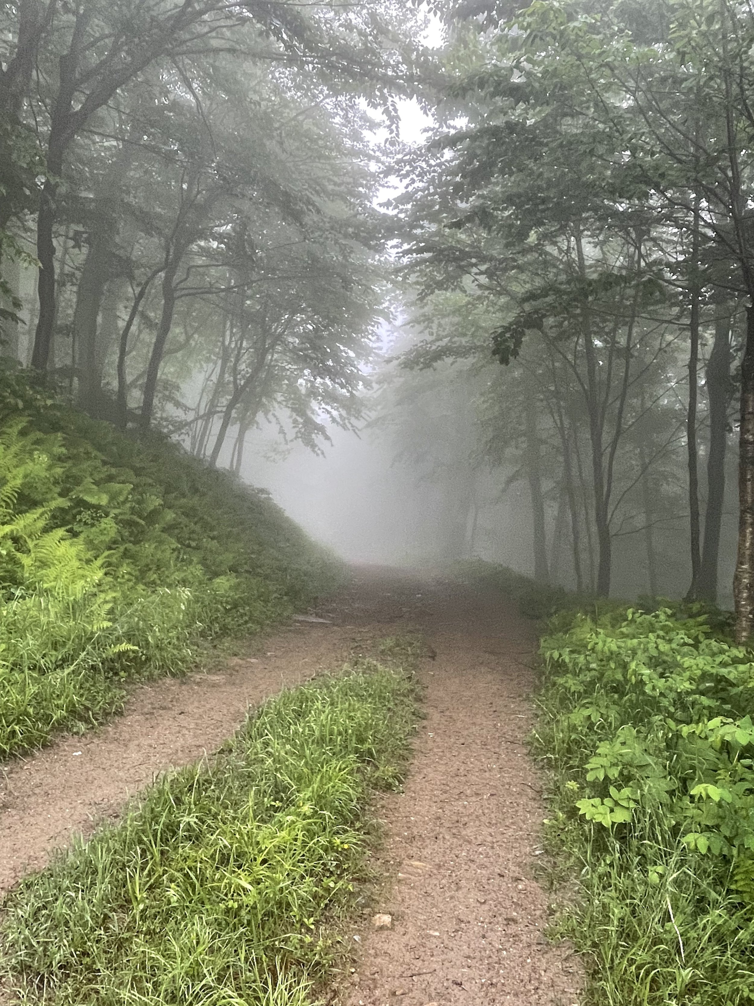
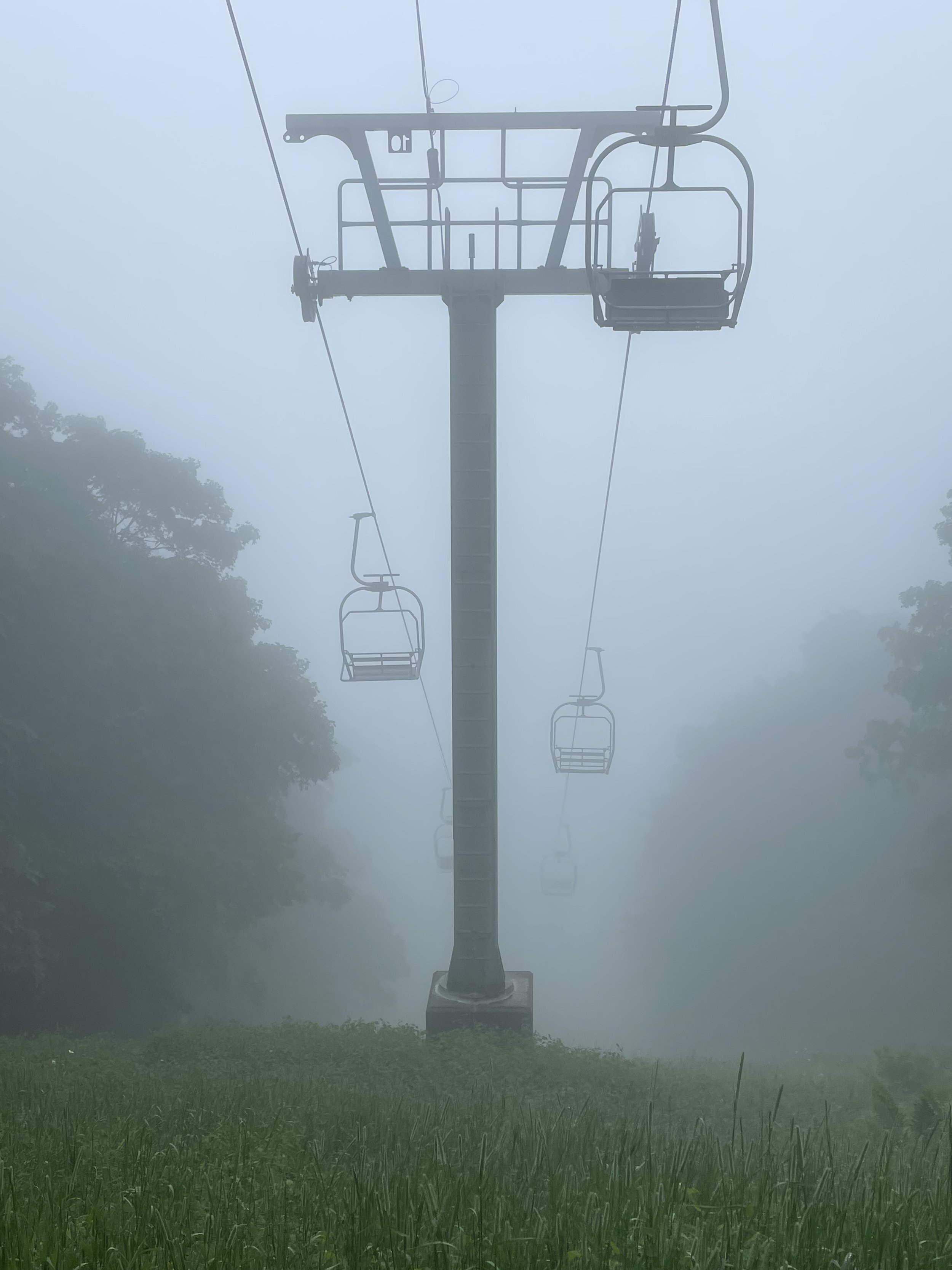


Mad River Glen Snowshoe Trails on Stark Mountain

Brian Mohr/EmberPhoto
A. Snowshoe Hare Trail- Easy
(1.0 mile, 350’ elevation gain)
An easy-to-moderate loop trail for all ages and beginners! This snowshoe hike takes one to two hours depending on your pace.
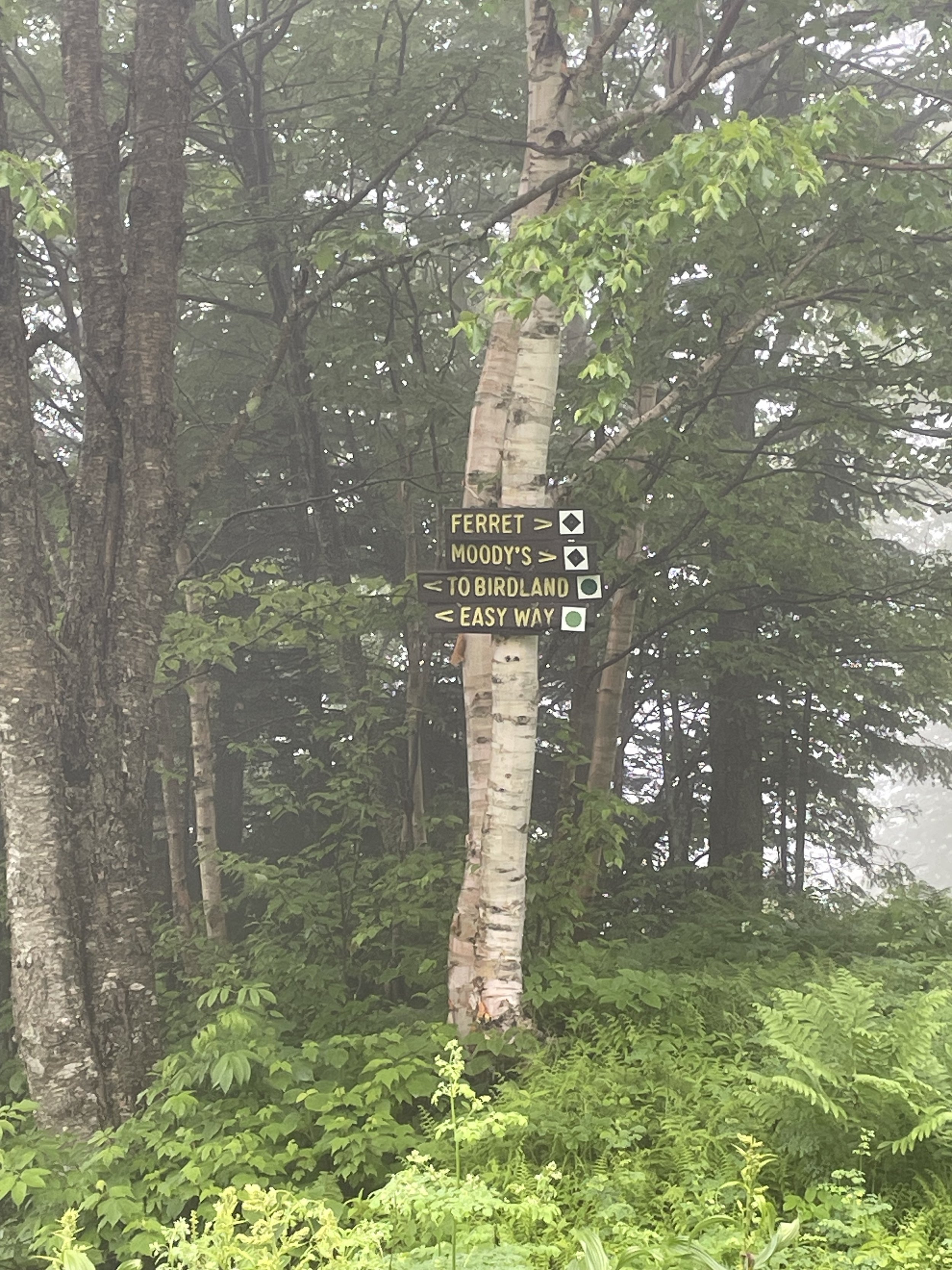
B. Moosewood Trail - Intermediate
(2.2 miles, 1000’ elevation gain)
This trail leads to the top of the Birdland chairlift, provides a link to the Long Trail, and continues to the Birdland Nature Center. Some sections are steep. Return to the base area on the same route. This snowshoe hike takes two or three hours in total.
C. Bearpaw Trail - Difficult
(0.8 miles, 750’ elevation gain)
A challenging up-and-back trek for experienced snowshoers! The trail starts at the mid-point of the Snowshoe Hare Trail.
D. Link Trail - Difficult
( 0.1 miles, 500” elevation gain).
A short spur that connects the Moosewood Trail to the Long Trail.
E. Long Trail - Difficult
(1.5 miles, 1,000’ elevation gain)
A difficult 1.5 mile 1,000’ ascent along the ridgeline of Stark Mountain to the summit. Return to base via the same route. The base area to summit via Moosewood and the Long Trail is approx. 5.2 miles.
F. Birdcage Link Trail - Moderate
This is a closed trail.

Mad River Glen Snowshoe Trails on Stark Mountain